LIB 2205 ARCH 2205_SP16_ALMEIDA-MONTGOMERY_AISEL-OMERBASHI_FINAL
Learning Places – Final Project
Leave a reply
Introduction
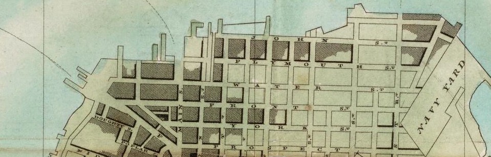
The Brooklyn Public Library has thousands of public programs, extensive book collections,and digitized newspaper articles. They have an online database to look up articles for research material. We will visit the Brooklyn Collection to Research downtown Brooklyn area. We will have access to archival material such as maps and historic Brooklyn photographs. My goal is to find two Sources in a time frame of interest, which will be between 1770’s and 1820’s.
The OpenLab is an open-source, digital platform designed to support teaching and learning at City Tech (New York City College of Technology), and to promote student and faculty engagement in the intellectual and social life of the college community.

