BHS Site Report
Leave a reply
I plan on producing a project which consist of literal as well as visual through the use of technology. In order for me to create this visual aspect I will attempt to use the software sketch Up. In Sketch Up I will do my best to compare and contrast the various alley’s throughout Vinegar Hill, I will also try my very best to collect information on each alley. Each alley will have a description which would include both its length and width as well as the purpose in which each alley served. I will also determine the possible changes that occurred within about a hundred year time span; between 1855 and 1955. I understand that this project could be a group effort however, I plan on completing this project individually.
(1) Old Fulton Street & Fulton Ferry Including DUMBO & Vinegar Hill Historical District
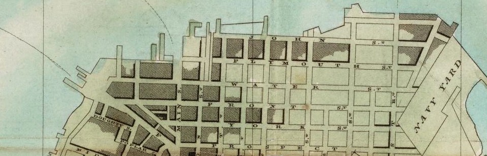
(2)New Map of the city of New York with part of Brooklyn & Williamsburg
I think the technology incorporated into GIS is extremely useful because it provides us with a way of uploading or rather copy and pasting information into a database called Carto DB. I appreciate the fact of being able to create your own personal maps to use as a display for not only a class project but anything that’s map related. GIS allows us to access small repository of datasets and a variety of base maps. I think its wonderful to be able to upload and visually create a map with data of your choosing. GIS is a great new technology that I think can benefit a lot of people.
Maps are a diagrammatic of representation of an area of land or sea showing physical features, of cities, roads and much more. Maps are used as historical information which is documented and possibly preserved and housed within an archives in a library somewhere. We use maps as a guide when we need to travel from point A to point B. Whether or not we see it as such we travel on a map everyday of our lives from the street we walk down, the trains we take to and from school and even the planes we take to travel when on vacation; it’s all a map. I thought this article tied in so well with our site visits to the library; because it helps use to grasp a better understanding of maps in a much broader prospective. It gives us different ways of using and accessing historical maps.
The OpenLab is an open-source, digital platform designed to support teaching and learning at City Tech (New York City College of Technology), and to promote student and faculty engagement in the intellectual and social life of the college community.

