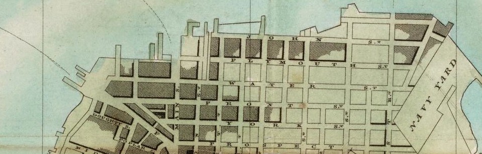
After couple of site and library visits we got in contact with lots of information and archives. My attention was captured by the Hooker’s New Pocket Plan of the Village of Brooklyn from 1827. Since then I decide to base my project in that map and analyse it. The map on the side has written the the most important public places and their approximate location since they didn’t have numbers for the houses to have and exact location. I will deliver a tree dimensional view of the massing on the whole map and the grid of it. Also, since the information on the map is placed separately based on their functionality, I will label and color-code these functionalities so they can be spotted right away from the map. I also will try to give them a shape based on some drawings of places that I found in our library visits. From that era we have only drawings since the camera didn’t exist yet. There are six rope walks in this map as well that aren’t part of the information given on the side of the map. So I will be focusing a part of my research on rope walks, and also a writing general information about them.
Final Project Deliverable
Leave a reply

