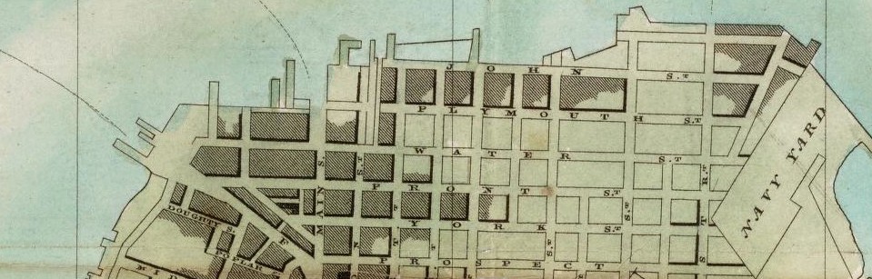
Maps are a diagrammatic of representation of an area of land or sea showing physical features, of cities, roads and much more. Maps are used as historical information which is documented and possibly preserved and housed within an archives in a library somewhere. We use maps as a guide when we need to travel from point A to point B. Whether or not we see it as such we travel on a map everyday of our lives from the street we walk down, the trains we take to and from school and even the planes we take to travel when on vacation; it’s all a map. I thought this article tied in so well with our site visits to the library; because it helps use to grasp a better understanding of maps in a much broader prospective. It gives us different ways of using and accessing historical maps.
Reflection (6)-Making Sense of Maps
Leave a reply

