Check out the photos ! Research/Reflection below !

2003 District Map

1800s Faded Map (you can tell it’s old)
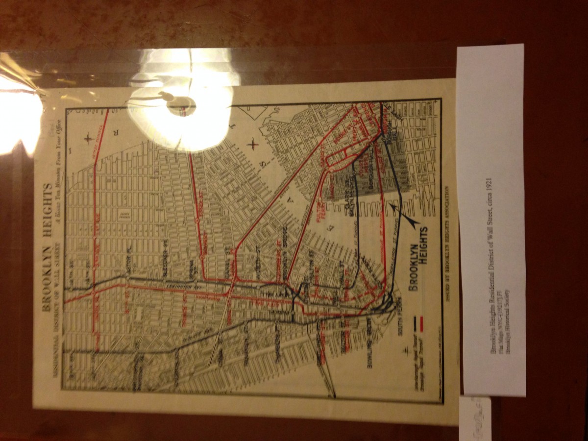
1900s Transportation Map between Manhattan and Brooklyn
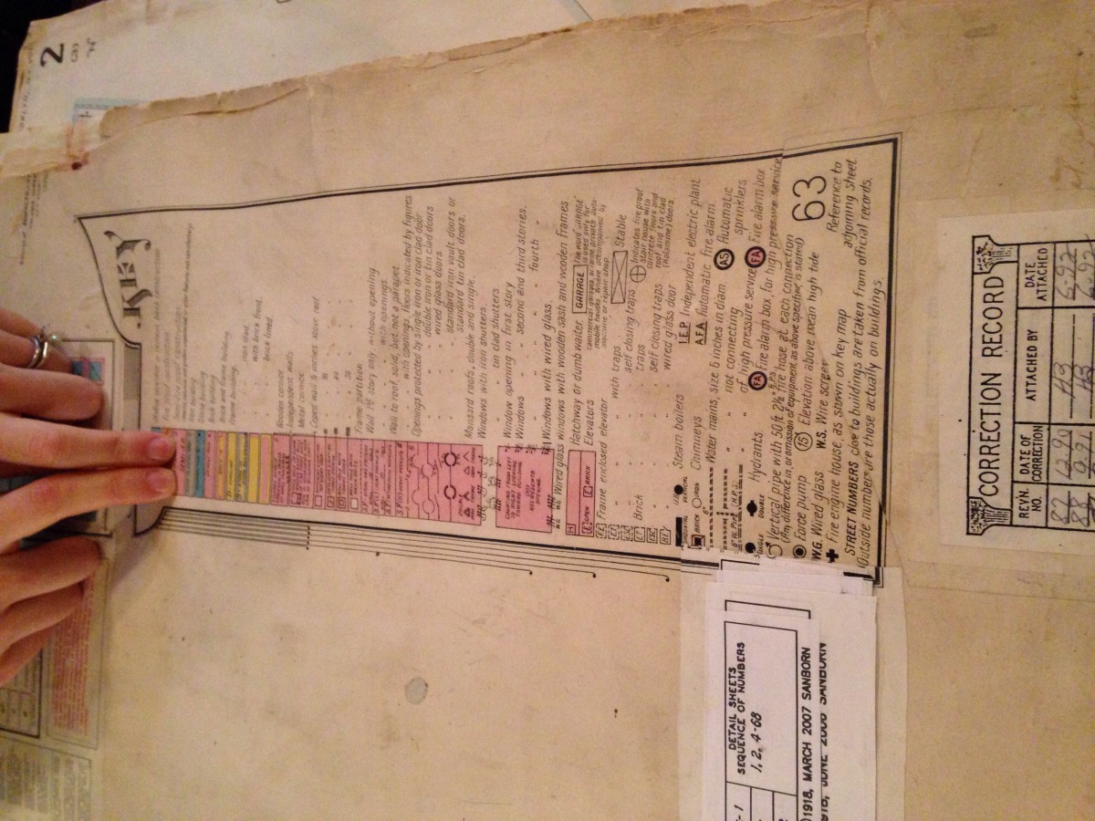
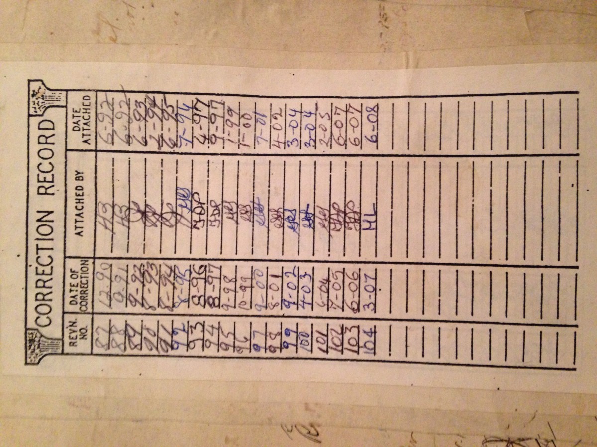
Updates on Atlas
It was such a great experience going to the Brooklyn Historical Society because I never been there before, and seeing everything about history back then was very interesting. We went there to see different maps on different time periods, and how we can compare that to today’s life and how we see things in our everyday lives. My group and I had three different maps, and we had to visualize, and write what we observed from each map. The maps we had was from the 1800s, 1900s and 2003. When you look at these maps, you could tell right away which one is old and which one is newly present. We demonstrated how by showing to our professors that the oldest map compared to the other two was old, and the color was faded. Moving forward to the more present maps, it showed more saturation and contrast, the color was good enough to read important information. In addition, what was also very interesting to me was the fire insurances Atlas, in this case showed what each building was made of( wood, brick, ground, etc) and how it worked for each. Each year or so, people would come and update these Atlas, and you could feel how rough the paper was with so much glue they would use pasting the paper on top of the old. Overall it was a great going there and realizing how time passes by so fast, you could see how everything changed from housing, transportation and a whole other things.

