
During our field trip to the Brooklyn Historical Society, we paid a visit to their library to analyze and study a few maps about Brooklyn and how its maps and streets came to be. There were several maps that were spread out, weather they be Subway maps, maps of some areas of Brooklyn, or all of New York state, they all kinda told a small story of the past. during my research, i noticed how back then they used maps a a type of advertisement for companies and what not. the map below is an older map of the brand new subway transit system, before the number and letter system came to be later on. Not only does this map have old subway routes, but it also told you a little about how the economy back then as seen by the 25 cent advertisement in one of the pictures below. also in the back of the map, i found an advertisement to the company who made the maps, also mean that the company who made this subway map has made other maps, perhaps even more of Brooklyn.
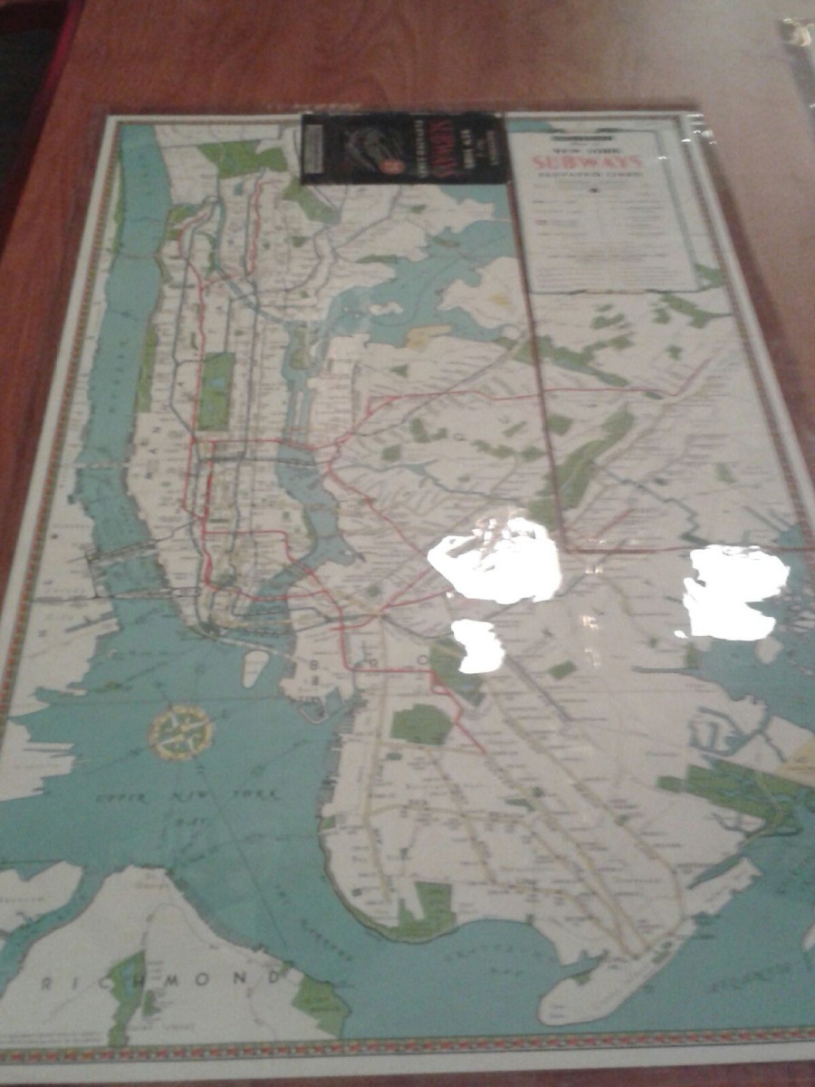
Subway map from 1940’s
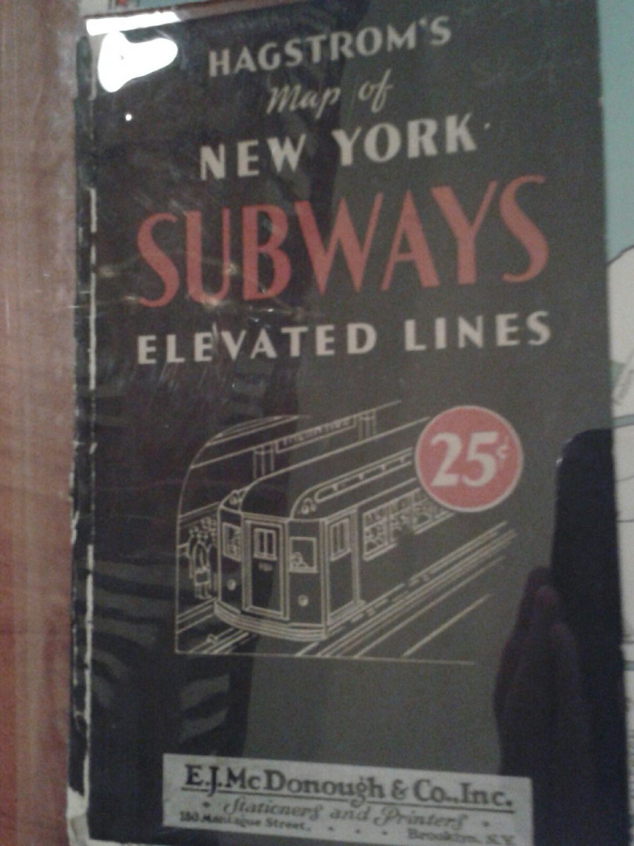
Subway Advertisement
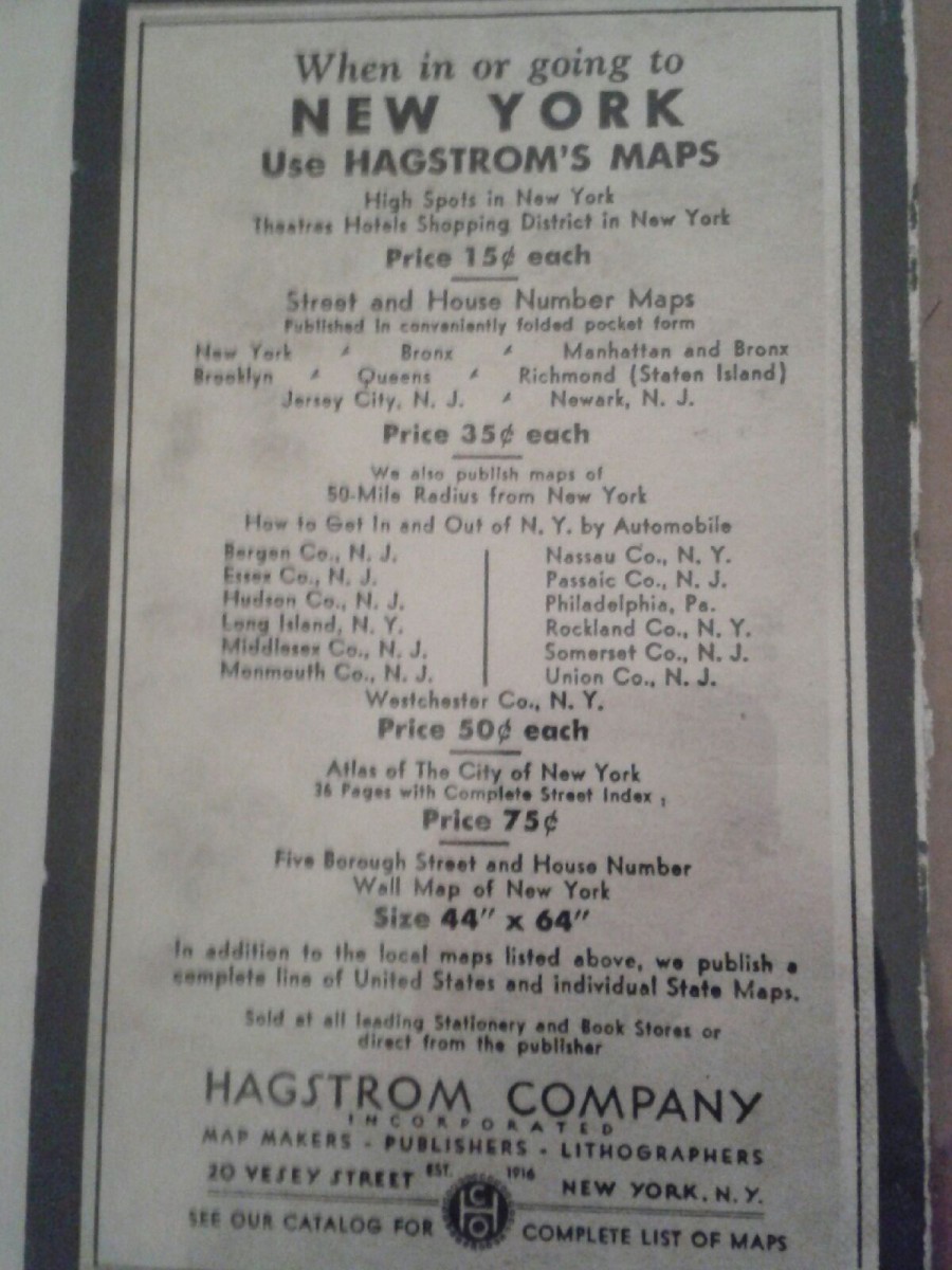
The company information i found on the back

