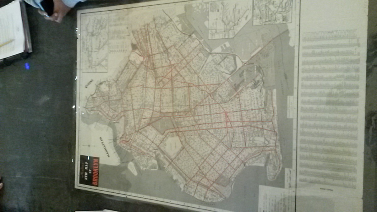
On today’s field trip we went into the BHS library which consisted of all sorts of primary information that can’t be found anywhere else. We mainly focused on maps of Brooklyn from different time periods . This is something that I would most likely include into project 4. For example, in my group we had a manuscript map of Brooklyn in 1856 which depicted the cut-off boundaries of farm lands that people owned. There was also a clear detailed drawing of the cliff of Brooklyn Heights. This was before the construction of the Brooklyn bridge, so the steam boat was a popular way to travel between the boroughs. Another map, which was printed, displays the subway map map from 1955. As we know, the train system was originally a series of companies that operated in different ways. This map is a significant piece of history that I could add to my project. Lastly, we saw a large booklet of maps that was created by the fire department during the time. From what I learned in class, civilians that lived in homes made of wood would be charged higher than someone in a brick house because of the higher chance of a fire. These different maps of Brooklyn give me a better understanding of it’s history that goes way beyond my time. Each version allowed me to see every phase that has come. I should have a better grasp of this concept from the research which will be a good guide for this project.

