Archive / Library Reflection #2 New York Public Library
Leave a reply
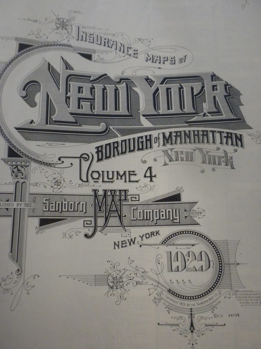
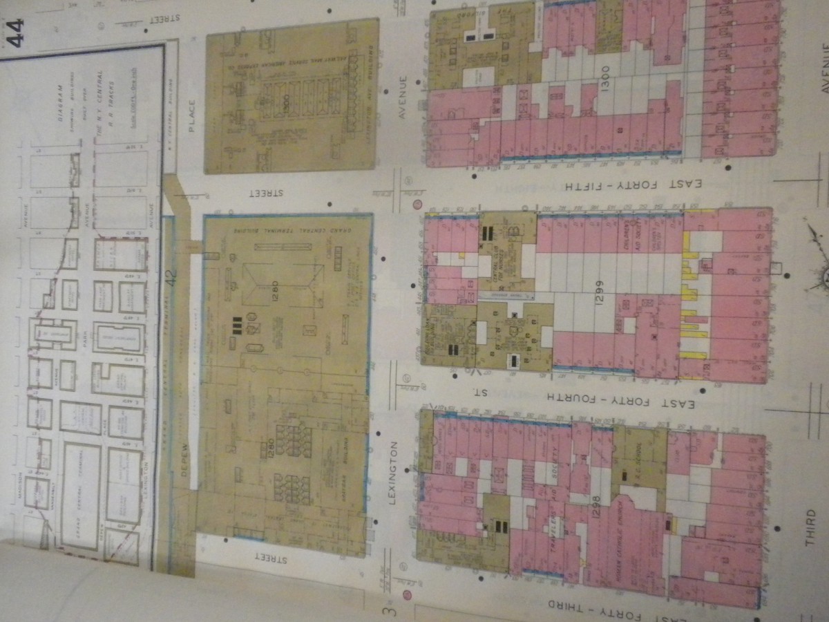
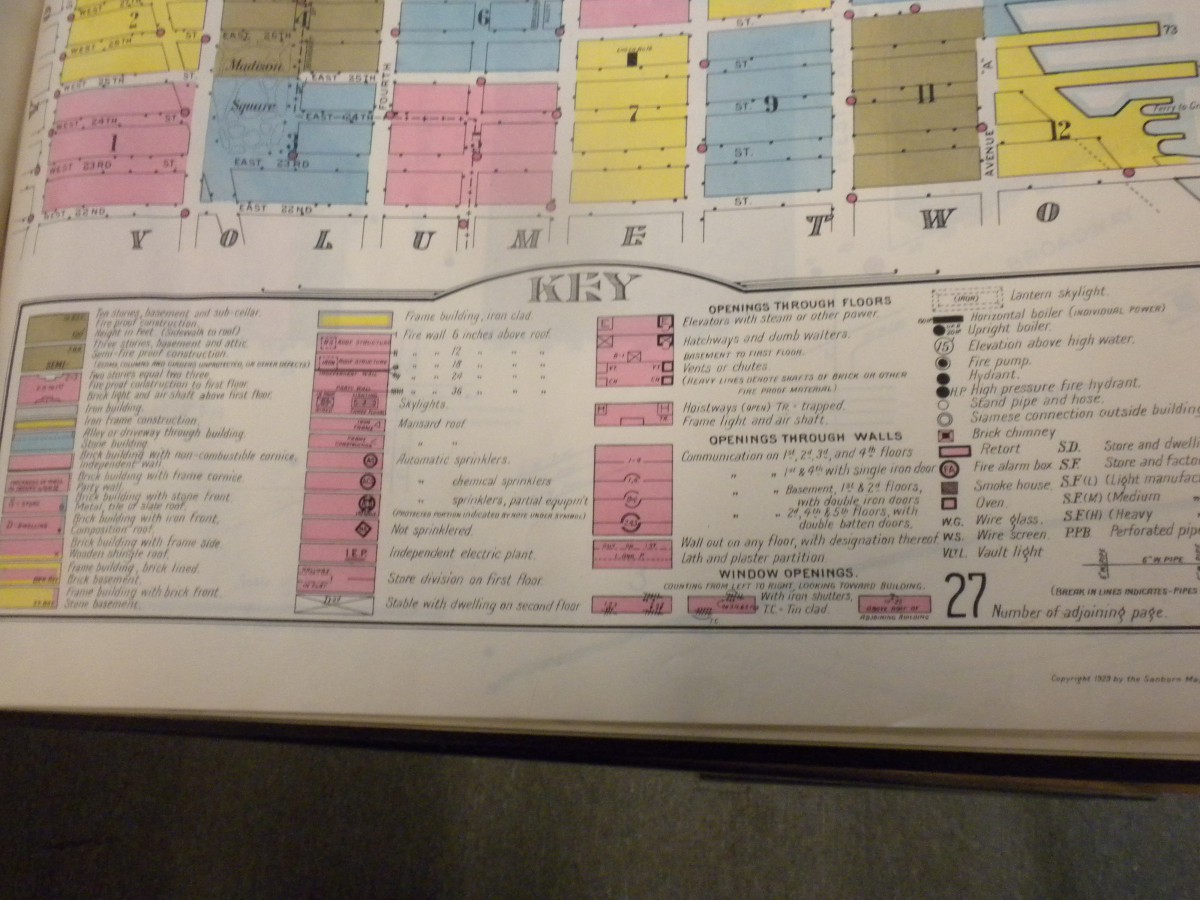
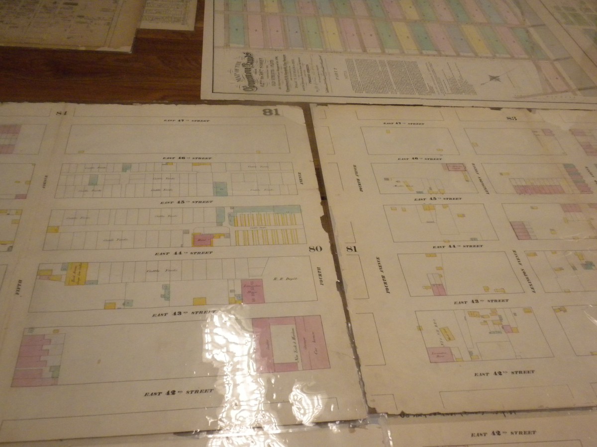
This first map was very interesting to me, so much so that I spent quite some time with it and going through the pages of it. BOTH maps are SanBorn maps used by insurance companies of the time, the only difference being the the one below is from the 1860’s and there were lots of farms and horse stables in what is now downtown manhattan. The map at the top has a lot more buildings and what was interesting about them is that changes were made to them by just pasting a cutout on the top of the original, resulting in layering of the document.
Class will meet on 11.2.2016 at the New York Public Library, Schwarzman Building in midtown Manhattan (5th Ave & 42nd street) at 1:30 pm.
Trains: 4/5/6 to Grand Central or B/F/D/M to Bryant Park.
We will meet at the Information Desk in the main hall (enter on 5th avenue!): https://www.nypl.org/about/locations/schwarzman/visitor-guide
This will be an archive visit and we’ll be in a private area of the library (text me if you’re late). While we wont have time to look at maps AND study the building, it is important to note that this library was also built in the early 1900s and is a great example of Beaux Arts.
The OpenLab is an open-source, digital platform designed to support teaching and learning at City Tech (New York City College of Technology), and to promote student and faculty engagement in the intellectual and social life of the college community.