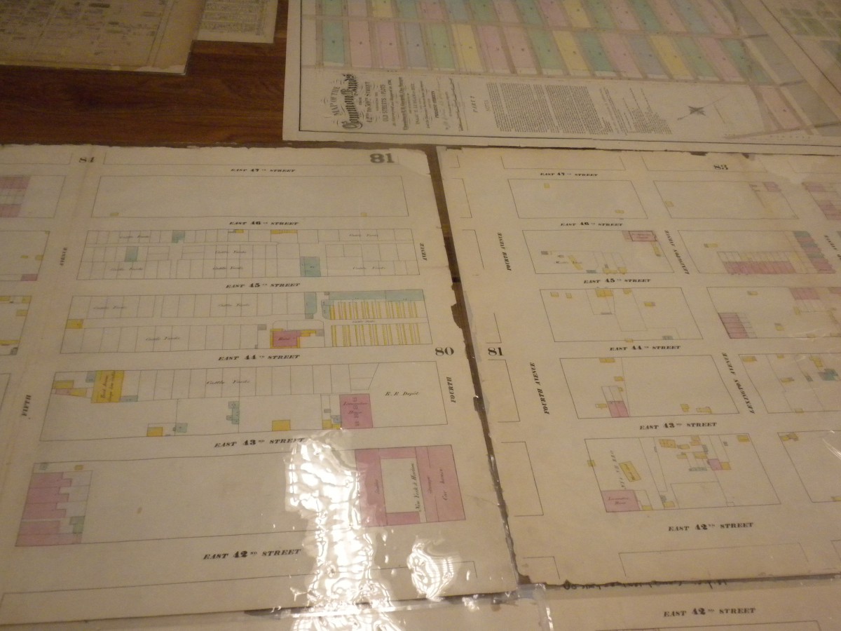
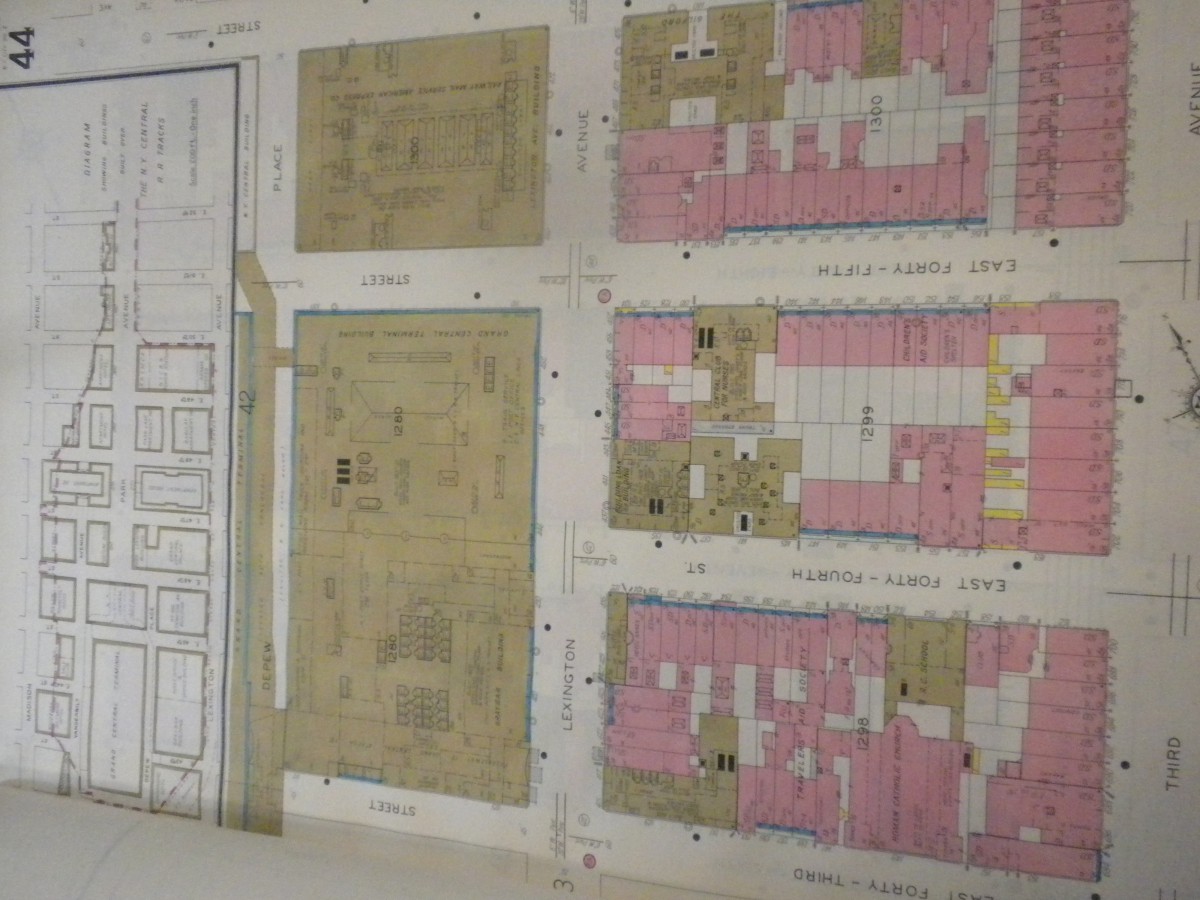
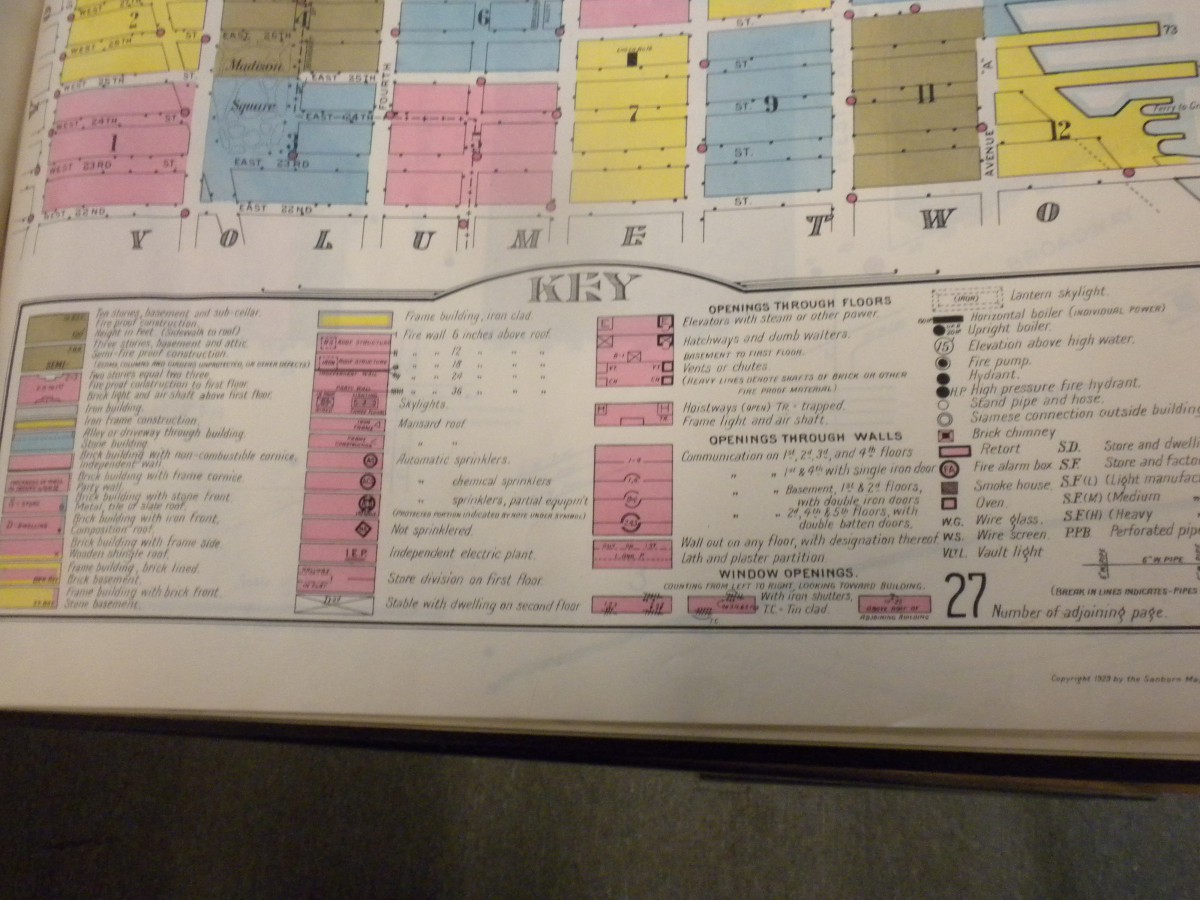
This first map was very interesting to me, so much so that I spent quite some time with it and going through the pages of it. BOTH maps are SanBorn maps used by insurance companies of the time, the only difference being the the one below is from the 1860’s and there were lots of farms and horse stables in what is now downtown manhattan. The map at the top has a lot more buildings and what was interesting about them is that changes were made to them by just pasting a cutout on the top of the original, resulting in layering of the document.