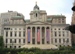
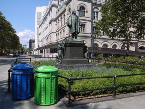
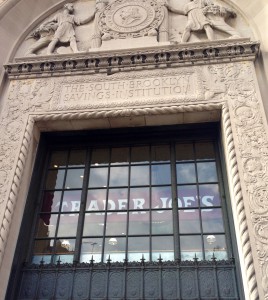
If I were to include a map in my next essay, it would most likely be a property map. It would detail the owners of the area through which I walked and you would immediately notice a difference between the two areas. One are would have owners dating back many many years, whilst one would have owners much recent. My map might also include a legend to differentiate the landmarked buildings from the un-landmarked ones, to further accentuate their differences. This map’s purpose would be to show the difference of two areas near city tech despite their suprisingly close proximity to each other.
November 2024 M T W T F S S 1 2 3 4 5 6 7 8 9 10 11 12 13 14 15 16 17 18 19 20 21 22 23 24 25 26 27 28 29 30 Categories
Tags
- Alan Trachtenberg
- BHS
- Brooklyn
- Brooklyn Bridge
- Brooklyn History
- Brooklyn Navy Yard
- computer labs
- cover letter
- EBSCO
- events
- feedback
- Google Maps
- homework
- images
- instructions
- Jennifer Egan
- Learning Center
- Learning Community
- librarian
- Library
- MLA
- persuasive speeches
- Phillip Lopate
- photographs
- presentation
- primary sources
- process
- questions
- readings
- reflection
- registration
- research
- research help
- Research Project
- revision
- SAFA
- syllabus
- thesis statements
- tours
- tutoring
- URL shortener
- voting
- walking
- workshops
- YouTube
-
Recent Posts
Recent Comments
- kennay on Updated: Essay 4 locations and research questions
- Account Deleted on The brooklyn bridge “fact and symbol”
- Jody R. Rosen on Computer Session 11/14
- Santacruz on Updated: Essay 4 locations and research questions
- uzairbaig on Updated: Essay 4 locations and research questions
Meta
Archives


