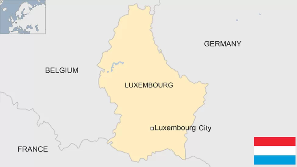
Luxembourg is known as the smallest country in Europe contributing to important relationships among its neighboring countries. Sitting at approximately 4.750°N latitude and 6.166°E longitude (Latlong.info, 2020), is important because it pinpoints exactly where in Europe Luxembourg resides. The longitude and Latitude of Luxembourg place it on the Northern and Western hemispheres (WorldAtlas, 2021), sharing borders with Belgium (West), Germany (East), and France (South). Understanding the relationship and coordinates of Luxembourg plays the role of the connector between different regions, cultures, and history shaping it to what it currently is. During the 20th century, Luxembourg became the founding member of various international economic organizations (BBC NEWS, 2022). This geographical proximity has impacted Luxembourg culturally, economically and most importantly it has enabled trading among its bordering countries.
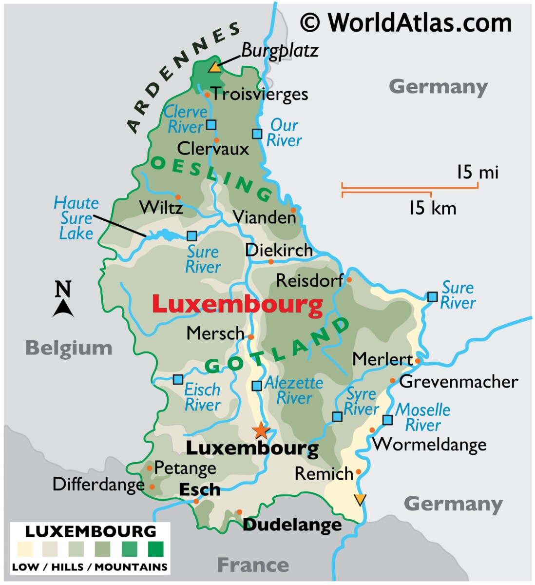
The interrelationships of Luxembourg extend far beyond its geographical size making it an important asset to its neighboring countries. This small country has built essential ties with its neighboring countries, the European Union, and the global community. Located in western Europe, its land covers about 998.6 square miles (Illsley, 2019), its small size can create easy accessibility, and it can quickly advance in specific industries useful for neighboring countries. Luxembourg’s strategic location and cross-border have made it easy for neighboring countries to shop, commute, migrate, and trade (Fromentin, 2021). This geographical positioning plays a huge role in international affairs as well as global impact. Once occupied by Germany (BBC, 2023), Luxembourg continues to play a huge role in creating international affairs and growth due to its geography.