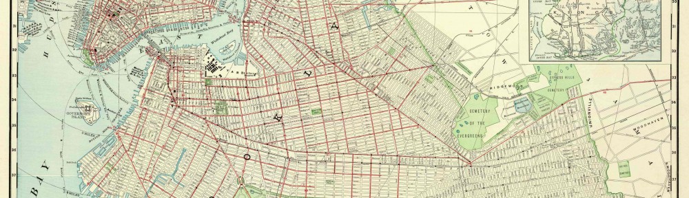
Today we started class by meeting in front of the school bookstore just like we did for the first visit to BHS. This time, instead of walking through the residential part of Brooklyn Heights and passing through the promenade, we walked straight through the square and down Montague. It is actually very close despite what our first visit lead us to believe. Once we got there, we went straight up the first flight of stairs to the Library. It was set up differently than the first visit because there were tables in the middle instead of just lined-up chairs. I asked Liz about this and she said that it was because somebody had rented the space prior to our first visit. We proceeded to get into our groups and await instruction. There were three maps on each table and they were very old, so they were encased in some plastic film that would keep its integrity. Although they were somewhat protected, we still had to be very careful lifting and moving them. No pencils were permitted near the maps, even to point. We were given a handout that had questions pertaining to the maps and the information they provided. There wasn’t enough time for all the maps because the class was only so long. Some groups also has people absent so they didn’t have as many eyes and input as others. We began to analyze these maps and answer the questions. My group was successful in answering the questions but had a little disagreement directionally about one of the maps. This shows the importance of a compass in any map. After we finished filling out our answers, we were unexpectedly told that we were to, as a group, provide an impromptu speech about the information we gathered. There were five groups and I believe each was successful in informing the class about the maps they had analyzed.
Being in Brooklyn
Communicating on the OpenLab