BHS Research
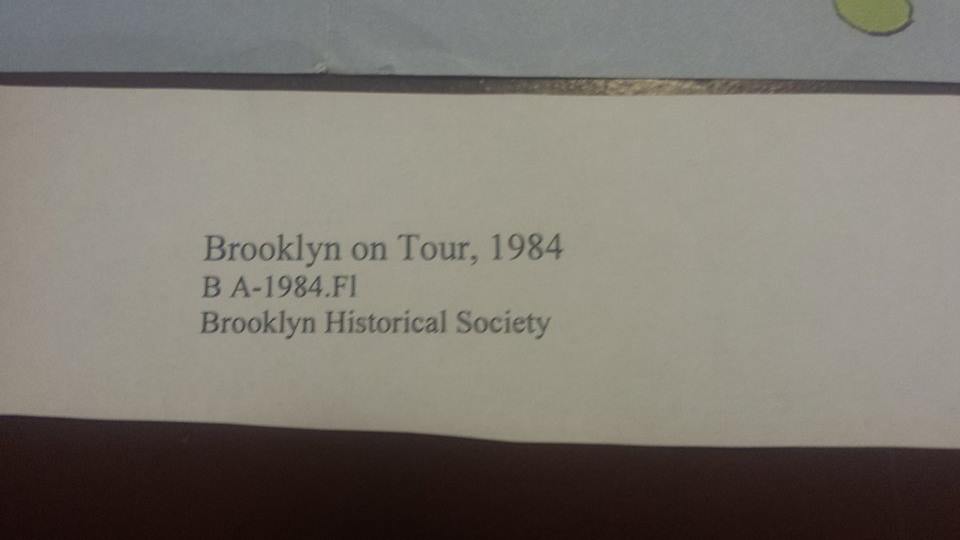
The trip to the Brooklyn Historical Society was a great learning experience for me because I learned a lot about Brooklyn that I didn’t know before. There were a lot of primary resources including the maps which were what we focused on. The lady explained that the room was chilly because the primary resources had to be kept cool for preservation (therefore I was cold the whole trip). The map my group focused on was called “Brooklyn on Tour.” Its a colorful map with more information on the back about different landmarks. For this reason I want to use this map for my walk for project #4 ENG1101.
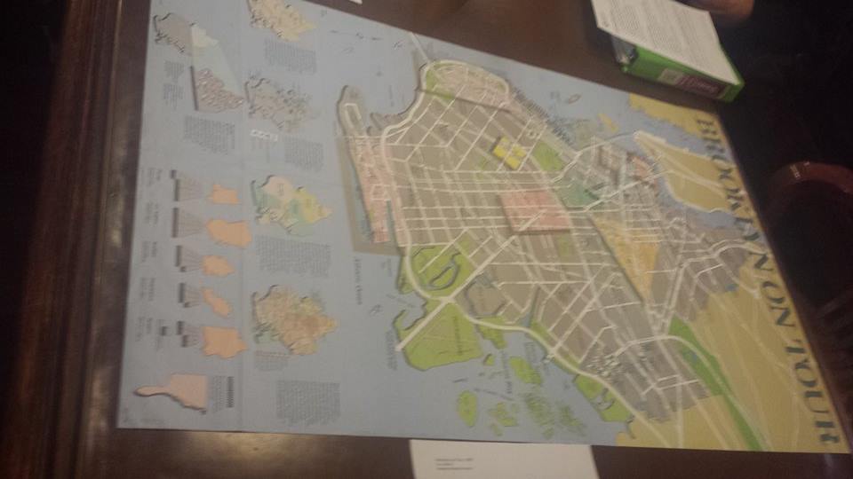

At the bottom of the map are smaller maps of Brooklyn that display different things. One map was about the Battle of Brooklyn 1776 the first major invasion of the Revolutionary war. Another small map called “How Brooklyn Grew” showed small towns in the mid 1600s – five were Dutch and one (Graven Sande or Gravesend) was settled by English colonists. The other small maps showed the populations of each neighborhood in Brooklyn and Brooklyn in Native American times. The other group had a map about the Brooklyn and Queens transit sytem. It showed trolley lines, bus lines, B.M.T rapid transit lines and I.R.T rapid transit lines. I can also use this for a historical connection when I take my walk for Project #4.

