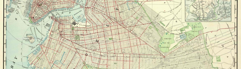
On October 15, my class went to the Brooklyn Historical Society with Professor Rosen and Professor Davis. When we get there the librarian assisted us to the library and we went into our groups. Each group had to analyze three different typed of map based on the location around our school. We only got to work on two maps because we ran out of time. The first map we analyze was a manuscript from the 1800’s. It was very interesting to see how the person drew the map and the land had no buildings but people had lots. The street names were different only a couple street names still exist today. We got to learn about another person’s view point of Brooklyn. The second map we looked at was a flat map. It was very interesting to look at because it had a lot of information such as Retail stores, Theaters, Business and Finance, Automobile parking. The person/company illustrated the drawing with a lot of colors that made it stand out. Also used a lot of keys and included a legend. The two maps my group looked at was very informative and can be used to do further research projects. You really have to focus on these maps to get all the details you want from it. This experience to the BHS will definitely have an impact in the Learning community this semester because I will absolutely go back there for research I will need. There are a lot of books in the library that has useful information that can be used.
Being in Brooklyn
Communicating on the OpenLab