A few important assignments are coming due this week. First, Project #2! Be sure to have your final version posted here on the blog before the start of class. If you have any final questions, feel free to ask them in the comments here. Your post should use the Project 2 category, plus your group’s tag and any other tags you find appropriate. In the subject line, give your project a title–don’t just write Project #2! Be sure to include a Works Cited list for the citations for the sources of your two quotations.I have included citations for our readings on the Readings page on our site. Use the appropriate citation.
You’re also posting a reflection on your experience with Brooklyn Historical Society. Here are the instructions: Write a blog post in which you reflect on working with maps in the archives at BHS. What impact will this experience have on your work in this Learning Community this semester? If you think your experience working with archives, working in the Othmer Library at BHS, or working with BHS more generally will have a more long-lasting impact on you, write about that as well. Use the category Homework, and the tag BHS plus your group’s tag and any others you find appropriate.
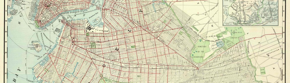
For the end of the week (Friday at 5:00pm): Using the text of the questions below, write a post with the information your group collected on each map to share with your classmates, along with photographs that would be useful for someone who cannot visit BHS to examine the map. Use the category Classwork, the tag BHS, your group’s tag, and any additional tags that would be helpful for organizing this post in our site. If your call slip indicated that you cannot share photographs on the site, we’ll password-protect the post. We’ll agree on the password in class.
Reading the citation:
1-What is the map’s call number?
2-What is the map’s title (if available)?
3-Which collection does the map belong to?
4-When was it made?
Physical description of the map:
5-What size is the map (approximately)?
6-What colors does it use?
7-What materials were used to make the map?
8-Who made the map?
Map content:
9-What location does the map depict?
10-What details does it include?
11-What time period does the map depict? Is this the same as the time when it was made?
12-What is familiar to you about the location depicted in the map?
Interpretation and Reflection:
13-What is the purpose of the map?
14-Why did it survive prior to becoming part of the archives at BHS?
15-Why did BHS incorporate it into its collections?
16-What is familiar or unfamiliar about the map?
17-What additional information would you want to better understand the map?
18-Where is City Tech in relation to this map?

