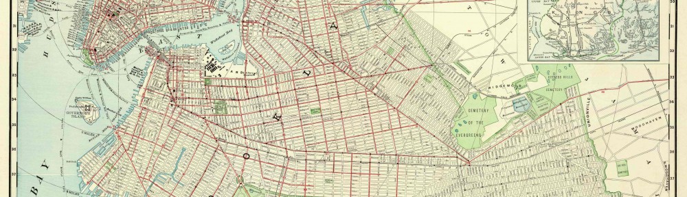
Today our Speech and English Class came together to visit for the second time to the BHS. On today’s visit we had the chance to be on the library to view some ancient maps. we learned about different kind of maps. There are different kind of maps such as manuscript maps, property maps, and many more like a old NYC subway transit map. When my class went inside the library we were instructed to get into our groups and we were assigned to a table where there were three maps that we had to examine. When observing the maps we had to answer some questions of the maps like who made it, when was it made, what materials were used to create the map, why is it important history, is it relevant today, and many more questions. We also learned the important details in a map like the compass, it is important to know where is north for you can know where you are heading. Also the legend that’s in a map that show us the key that helps us understand a map better. Looking at the three maps i noticed they were based on NYC the first map was from Pirrepont a manuscript map of City Techs neighborhood back in 1828, the second map was the streets of Brooklyn, and the third was a old transit map from the NYC subway in 1995. To end our visit to the BHS Prof Davis surprised my class and told us to give a impromptu speech so each group ended up giving a speech of what they each learned about the maps we observed in BHS.
Being in Brooklyn
Communicating on the OpenLab