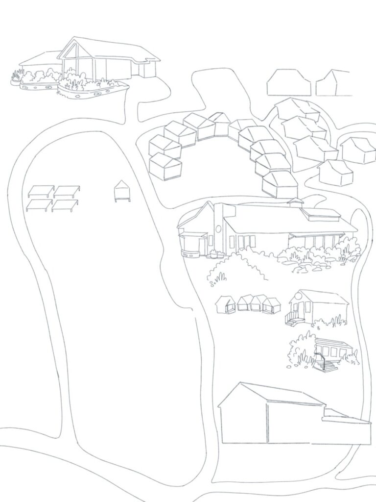
The very first illustration-related task that was given to me was to illustrate the Highlights Foundation’s campus map for the Illustration workshop. The idea for this project is to create a simple map drawing that would be filled out by the Illustration workshop students and faculty; a collaborative art piece.
Highlights already have a campus map which I used as my reference. I wanted to create a “cartoony” and a very minimal look to it while still having clear identification of the main buildings. As for the cabins, I made them into simple house silhouettes since I wanted the students to add the details themselves.
I did my first sketch in digital to know where I would be laying out the buildings and the road paths. I proceeded to do a pencil sketch on an 18 x 24 paper. Once I was done and satisfied with the overall look, I did the final ink lineart on an 18 x 24 watercolor paper so it could withstand whatever drawing materials students will use.
Below is the final traditional inked piece of the campus map (Unfortunately, I was not able to take a proper picture before I sent it out to the faculty)
18×24 – Ink on Watercolor paper (c) Jhoanna Dimapanat
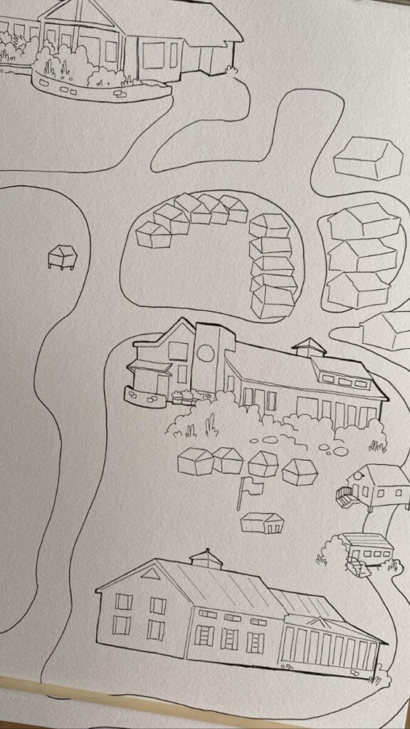
….and the image below is how the map looks like so far with the other illustrators adding their own touch into the piece.


