
Assignment A: Analyzing Neighborhoods
DUE: Sept 9, 2013
Requirements:
- identify your neighborhood
- analyze and diagram the nature of your neighborhood through hand drawn or digital drawings:
-
- Definition:
- where are the boundaries of your neighborhood?
- is there a clear center?
- what are the key streets?
- Geography:
- Are there any key natural features?
- What is the topography of the site?
- Housing:
- What are the types of housing?
- Where is the population density highest/lowest?
- Identity:
- Is there a clear community identity[s]?
- What are the relations like across the neighborhood?
- Building + Land Uses:
- residential
- mixed use
- commercial
- recreation
- civic
- religious
- transit infrastructure
- open space:
- hard: plazas, squares
- soft: parks, landscape spaces
- Definition:
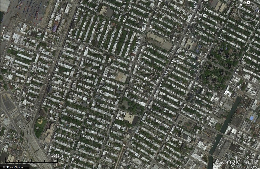
- Horizontal Form Analysis:
- What does the street grid tell you about the neighborhood?
- Does the grid reveal boundaries, centers, edges, connectivity?
- Develop the following diagrams:
- Figure Ground
- Hierarchy
- Buildings
- Streets
- Connections/Connectivity
- What does the street grid tell you about the neighborhood?
- Zoom Out – Relationship to Larger City:
- Adjacent neighborhoods
- Citywide connections/connectivity
- Transportation Systems:
- Roads (Vehicular)
- Public Transit (Trains, Subway, Buses)
- Pedestrian
- Bicycle

