Assignment L sumbission
Leave a reply
Post For Assignment M
https://openlab.citytech.cuny.edu/aamador-eportfolio/
https://openlab.citytech.cuny.edu/aamador-eportfolio/ashley-amadors-portfolio/
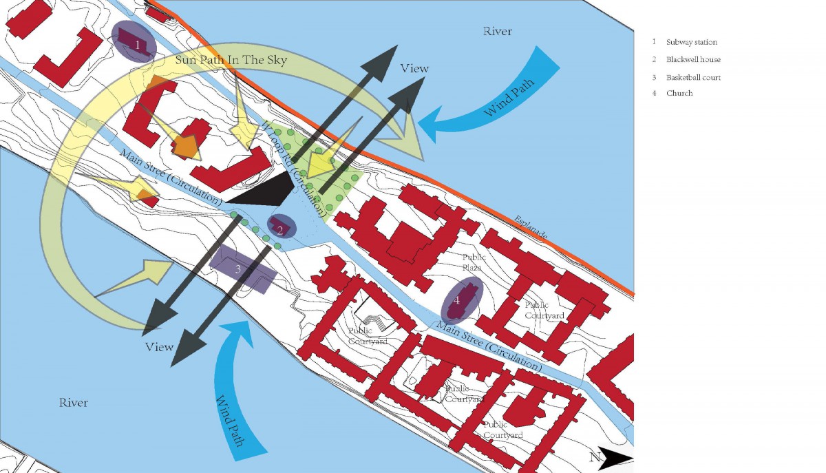
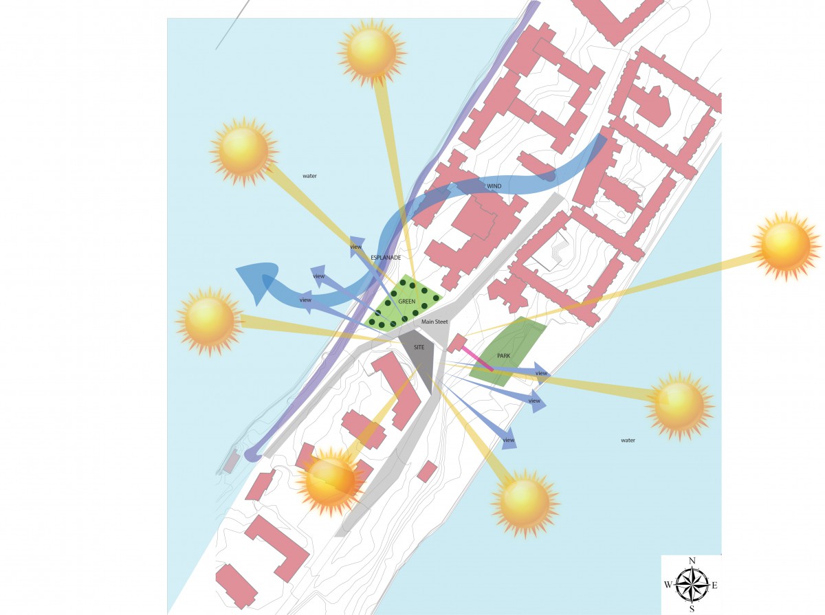
The objective of this assignment was to document the five configurations that has to correspond with Assignment C: Climate Analysis and the chosen climate zone. The presentation for the diagram configurations had to include a diagram of the circulation, how the sun affects the building, determine what space is being used (private or public), views, entrance and approach, and etc. During my presentation my I as able to discuss my concept for each of the diagrams created. The feed back I received has helped me. Therefore I was told to go back into my diagrammatic configurations and improve them by completing the other three diagrams, fix the orientation of my north arrow, correct the angles of how the sun and winds are directed onto my site and structure, and to watch out for how the spaces are oriented on the site and how it can connect to my climate zone. After I received the feedback I was hopping for, I then went back into my diagrammatic configurations and improved them by making the changes that needed to be made.
After making the reviews i have received and based on both the climate zone an analysis I have decided to go with Diagrammatic configuration no. 3. This diagram was showing spacial flow between the six forms that were created and the site. Both my site, climate zone and climate analysis play a very important role. To build a series of forms which then leads to a structure I would first need to know the site where I will be building on, the climate zone that I am in and I would then have to make and observation based on my location. The structure I created has an open space between two forms which then became a dog trot. This open space will let air flow come through and could be used as a over hang in which where the weather takes place.
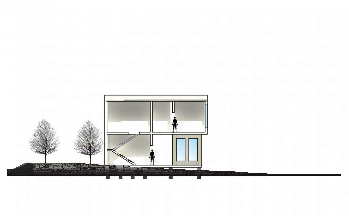
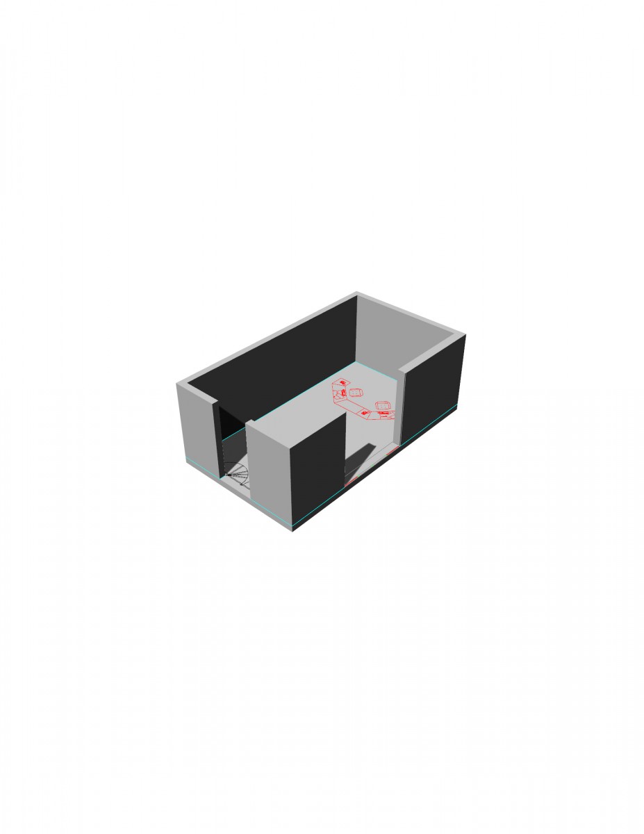
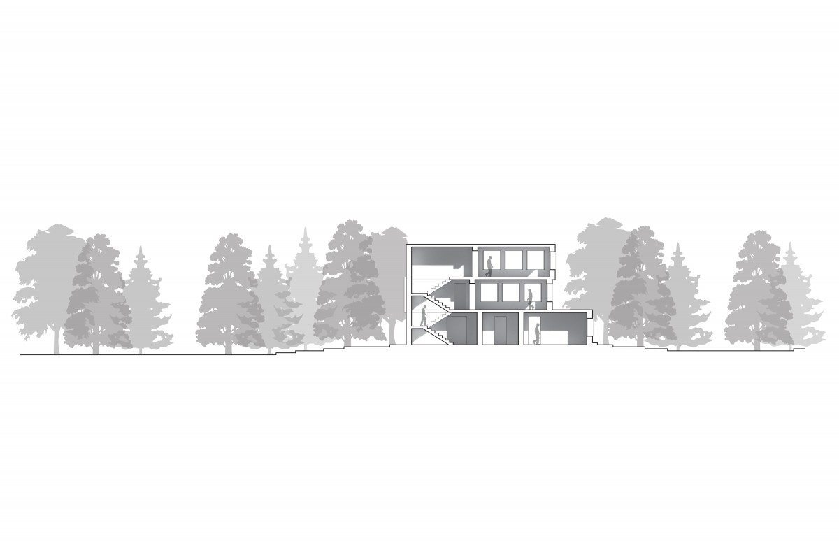
For the next part of this process, I will go and make some fine adjustments to my model. I will need to start creating floor plans, Sections, and elevations with either pooch or very thick line weights, a facade, and perhaps grading of my land depending on how far I my structure is into the site. Some thing I would need to do is create a tope view of my structure using the topography contours and place multiple trees

Link to Assignment L – Portfolio
Link to Assignment K – Portfolio
Link to Assignment J – Portfolio
The OpenLab is an open-source, digital platform designed to support teaching and learning at City Tech (New York City College of Technology), and to promote student and faculty engagement in the intellectual and social life of the college community.

