I remembered I’d taken a photo of the crumbling party wall and the ghost signs concealed by the recently demolished building at the corner of Fifth Avenue and Flatbush Avenue last fall:

5th & Flatbush, November 2017
Today the site has been prepared for new uses yet is now overgrown with plants, indicating no construction has been happening lately:
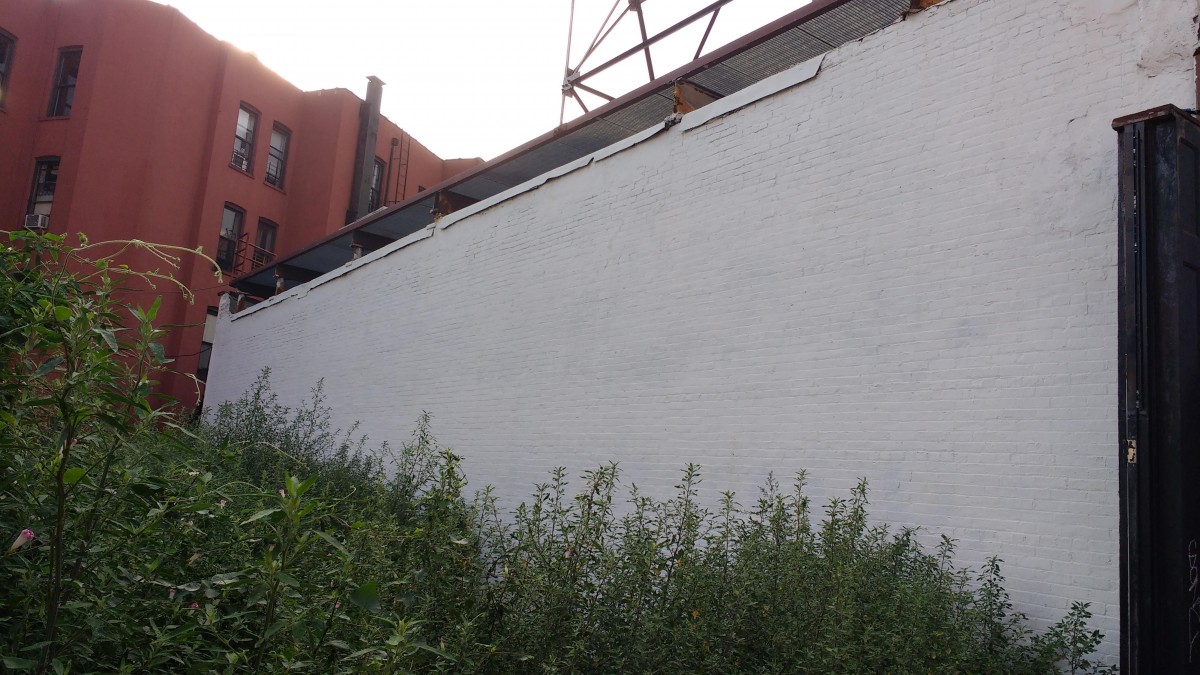
5th & Flatbush, September 2018
Thanks, everyone, for participating in a great site visit today. The first site report is due on Thursday, September 27. Remember to save a copy of the site report template, and then edit it with your content and responses. On Tuesday we’ll discuss research in archives and special collections in preparation for our research visit to the New York Public Library Map Division, 476 Fifth Avenue at 42nd Street, on Thursday, September 27 from 3-4:30pm. Before Tuesday’s class, please read the articles linked below, and comment on this post with 2 questions you have about these readings:
Introduction to Archives, Visiting the Archives, and Citing Archival Sources from the Purdue OWL
What are archives and how do they differ from libraries? and Using Archives: A Guide to Effective Research from the Society of American Archivists
Primary, Secondary, and Tertiary Sources from Virginia Tech libraries
~Prof. L.

