For Thursday Please Focus on the
Development of the Special Zoning Diagrams
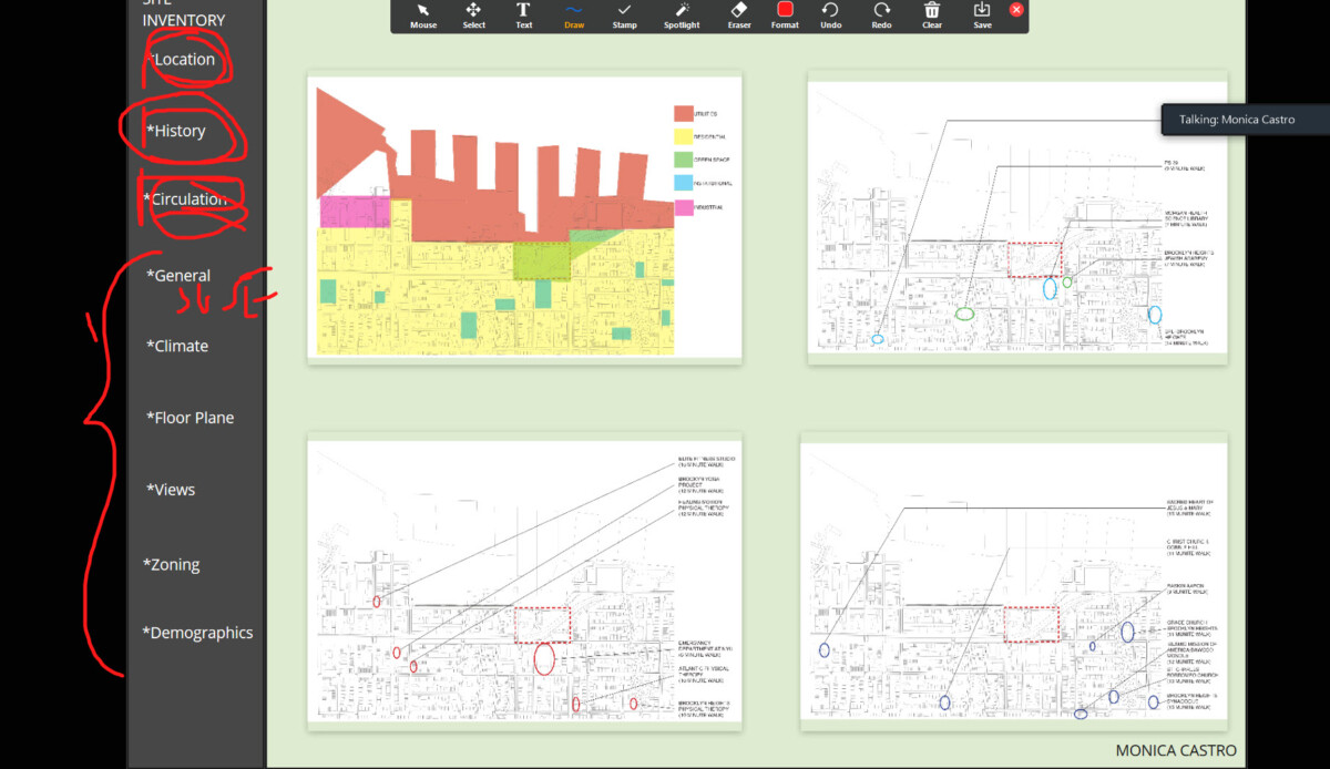
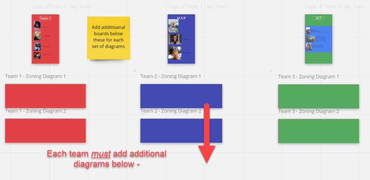
I have created new boards for you in the existing Miro Zoning Sheet
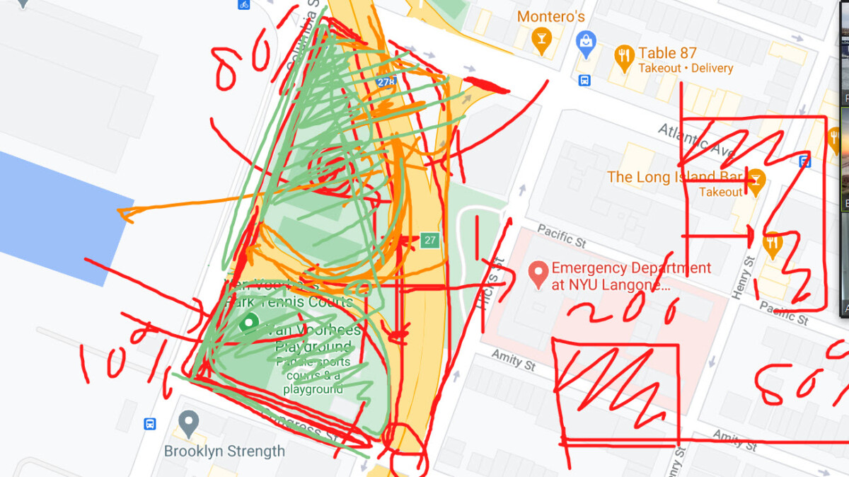
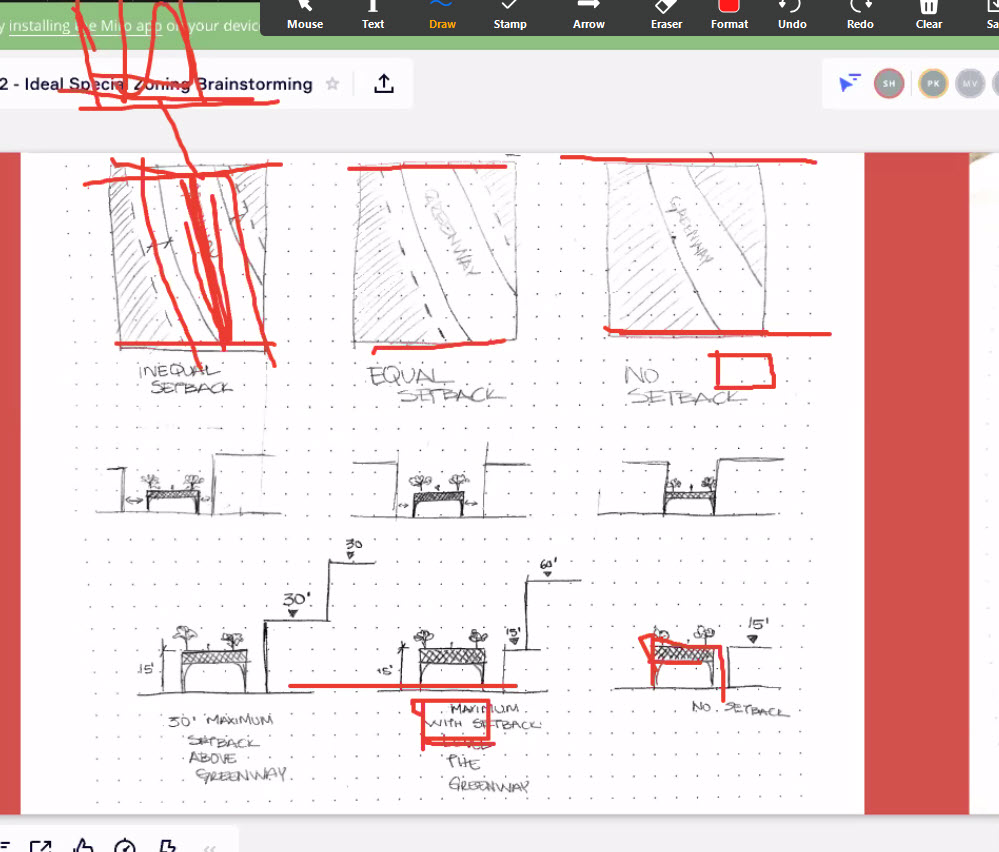
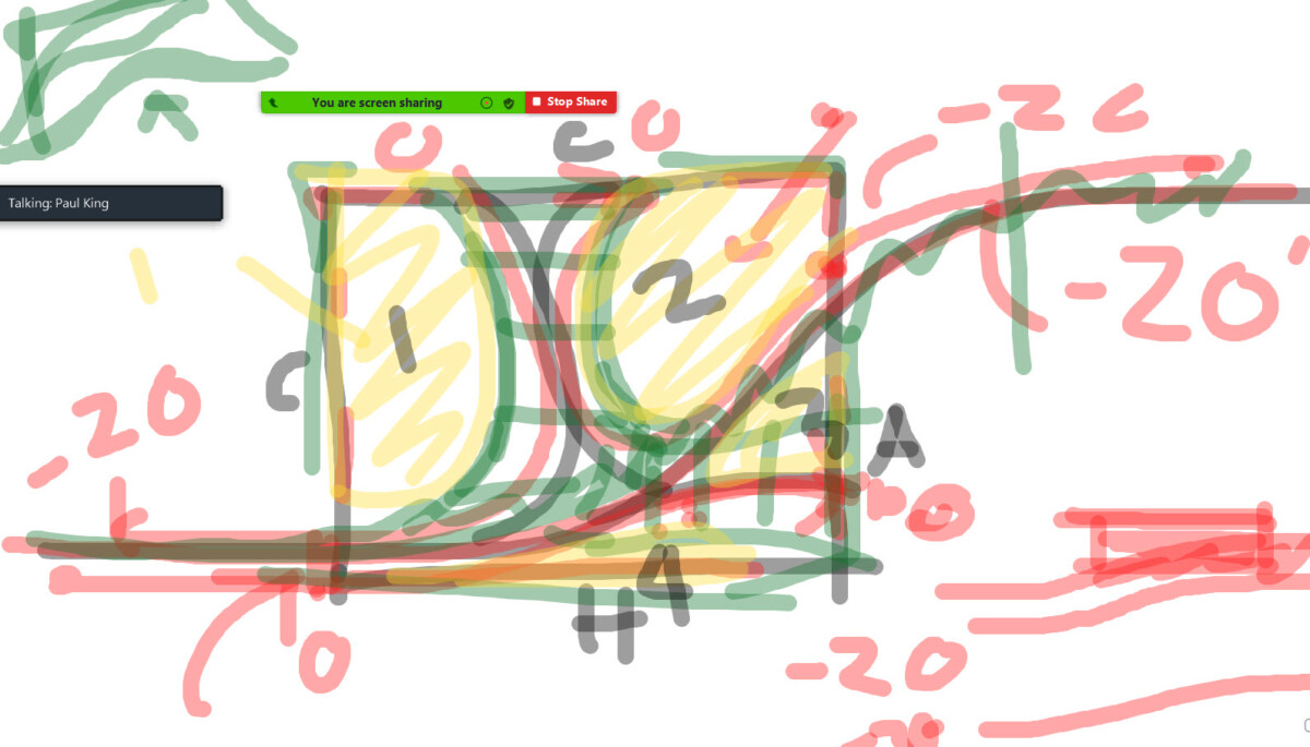
Use this to post your diagrams – Instead of writing out your special zoning rules try to draw and diagram the rules. This can be done with freehand sketches just as I did here in the sample or you can make these more refined. Please complete the studies outlined below by Thursday for discussion. There are others – these are the minimum.
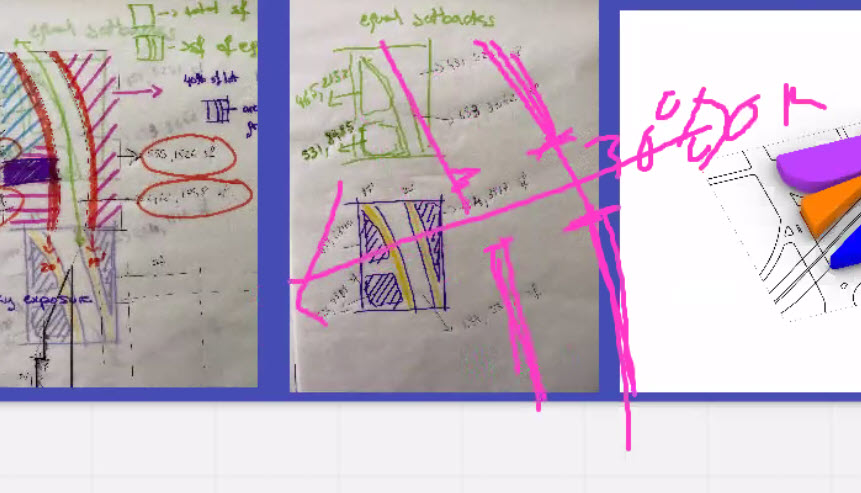
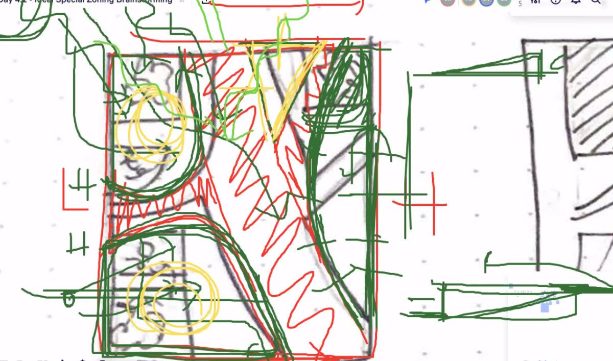
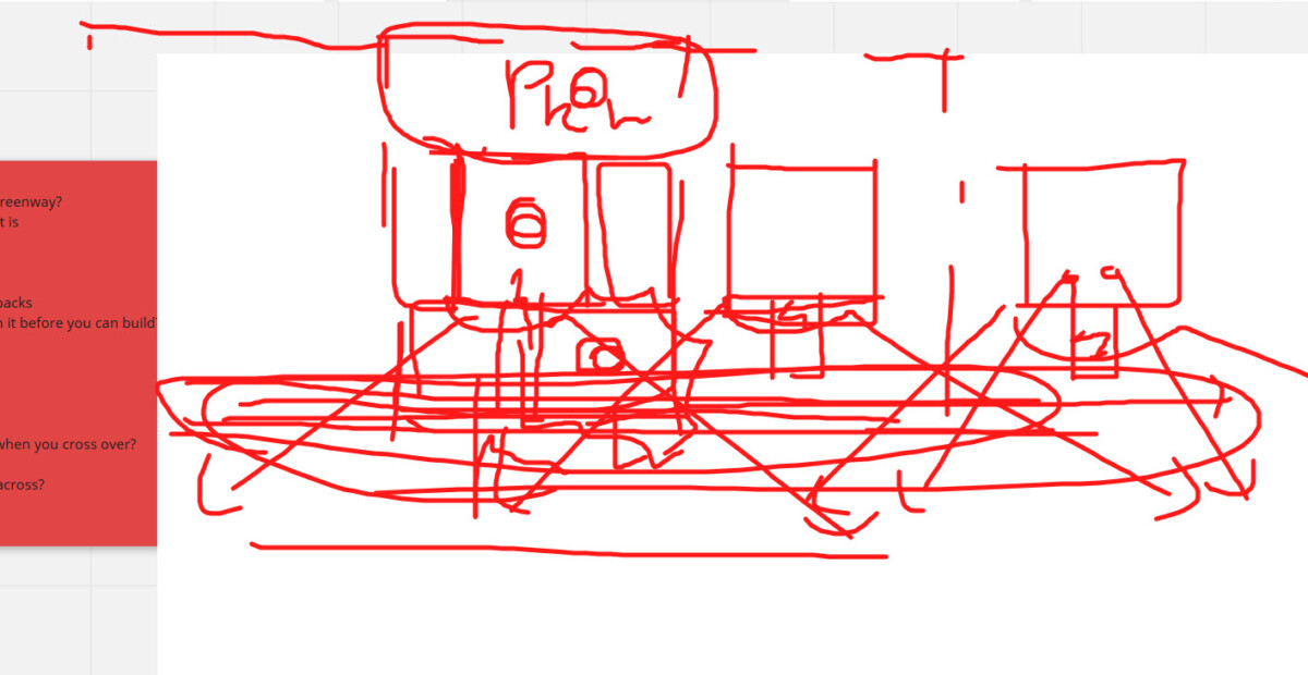
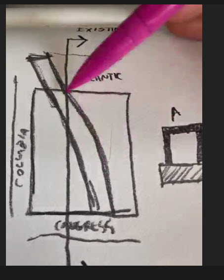
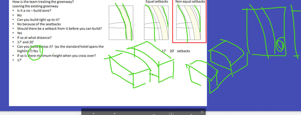
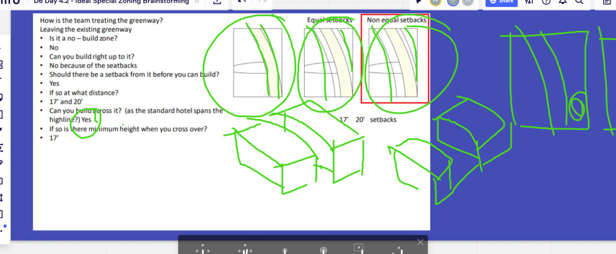
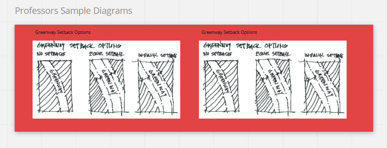
Sample Diagram
In the sample I did a freehand sketch to investigate setbacks from the greenway. The first diagram shows what happens if there are no setbacks, the second even setbacks (distance not specified), the third un-even setbacks (distances not specified). The second set of diagrams would be to show another feature of the greenway zoning.
Break it down into simple rules and questions:
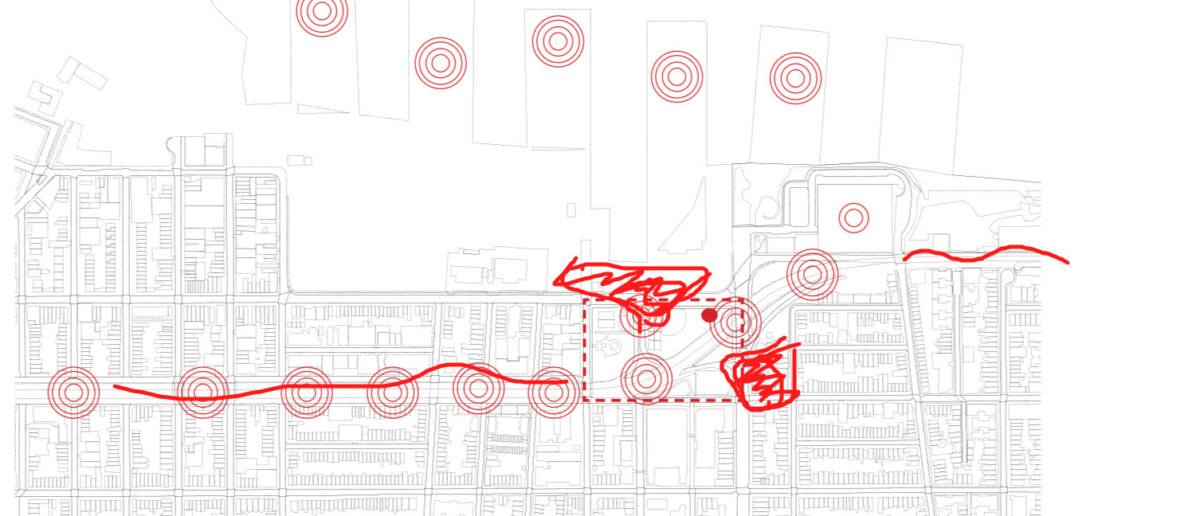
Edge Conditions:
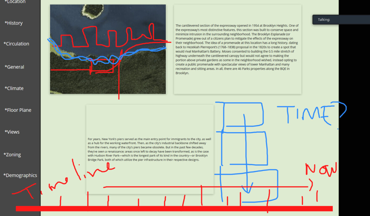
There are edges along the greenways and the streets. Since the highway entrance/exits divide up the streets we can consider dividing up the edges as the pieces between these so in addition to the Greenway, we have the following
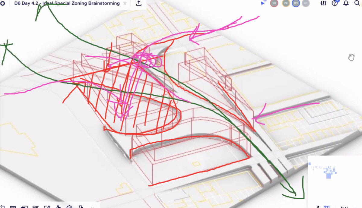
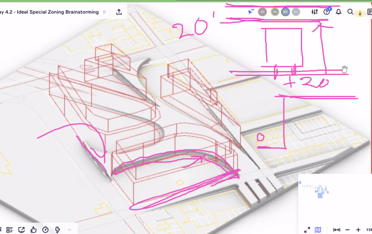
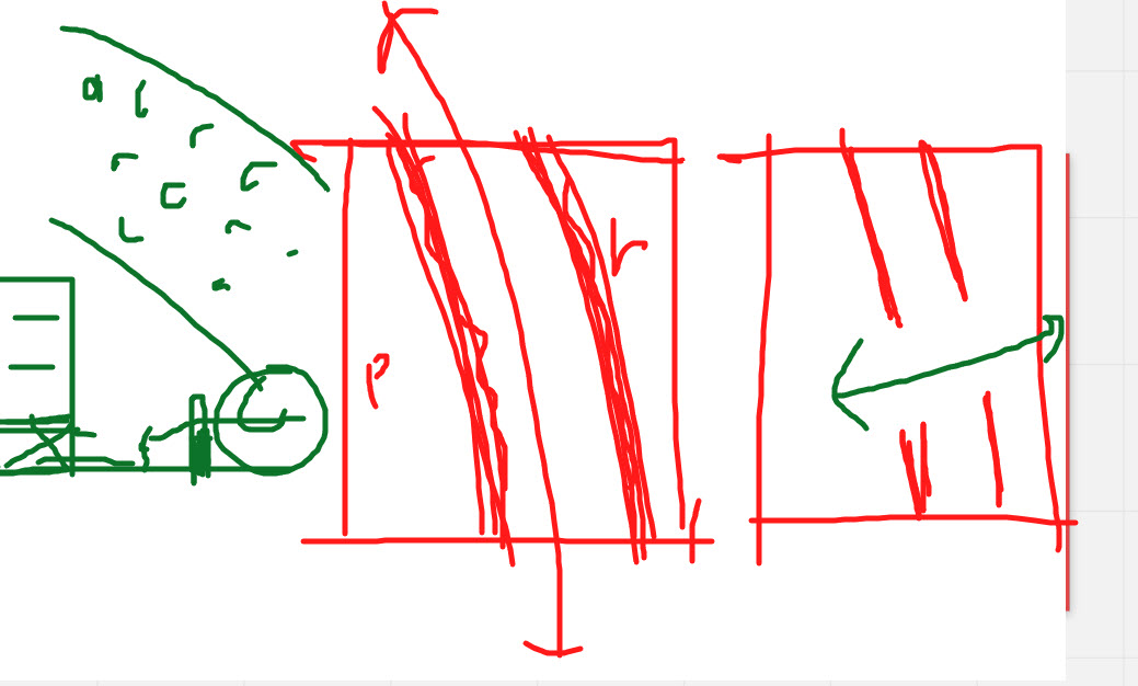
Use Diagrams: Draw multiple overlay diagrams to explain the edge conditions. For example multiple diagrams that show the setback options for the Greenway
GREENWAY
- How is the team treating the greenway?
- Is is a no – build zone?
- Can you build right up to it?
- If so can you build up against 100% of the length? 50%, 10%?
- If you build up to it is there a street wall height requirement or limit?
- Should there be a setback from it before you can build?
- Can you build across it? (as the standard hotel spans the highline?)
- If so is there minimum height when you cross over?
- Is there a maximum coverage across? IE. – do not cover more than 20%?
Ask the same questions for each of the following conditions.
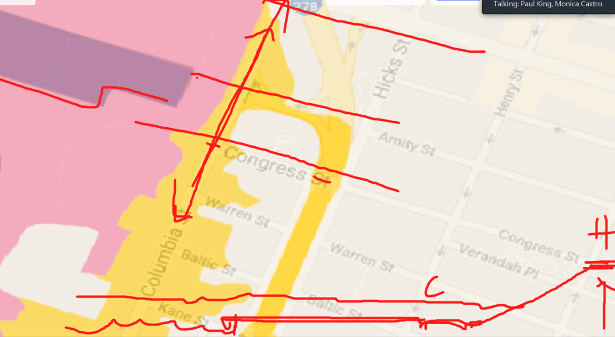
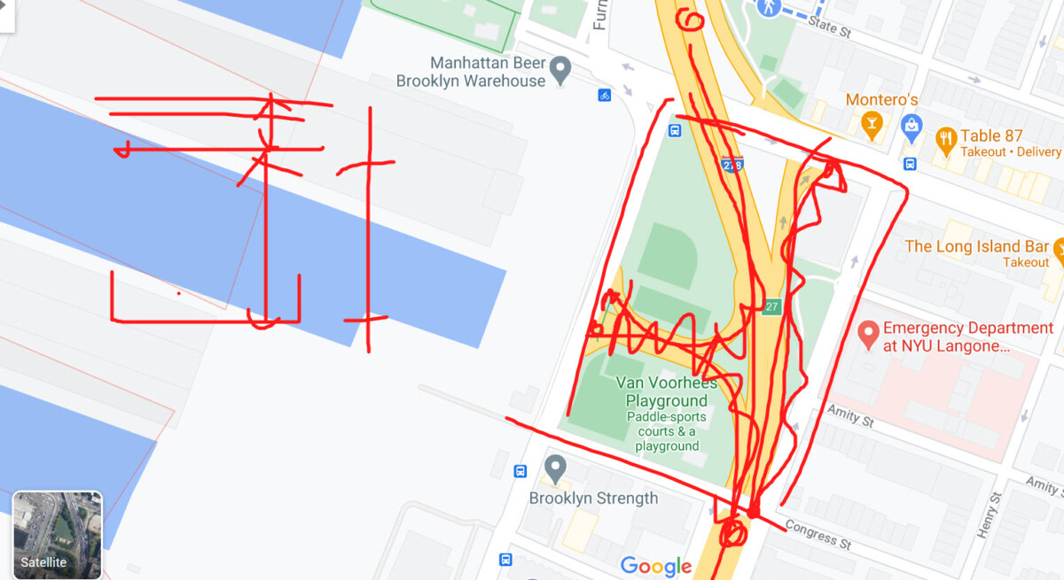
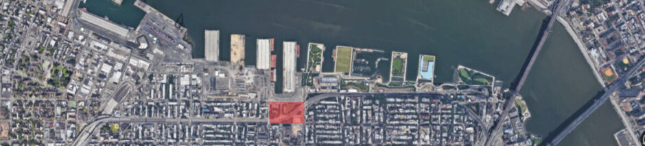
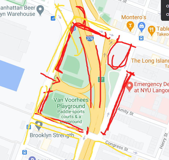
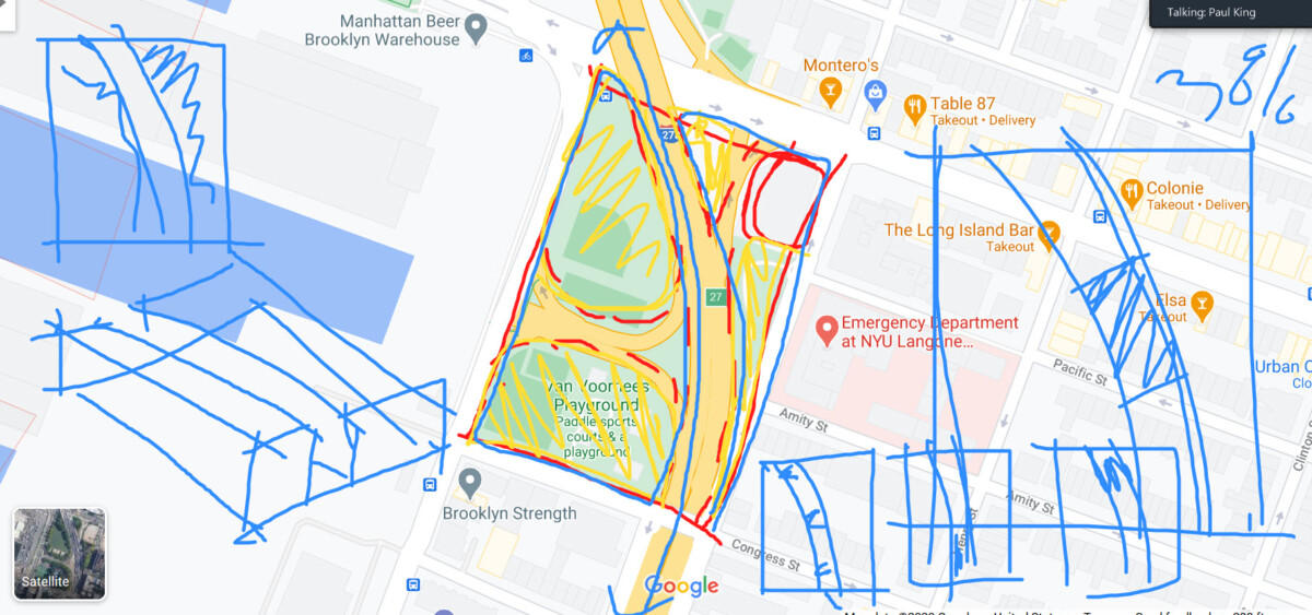
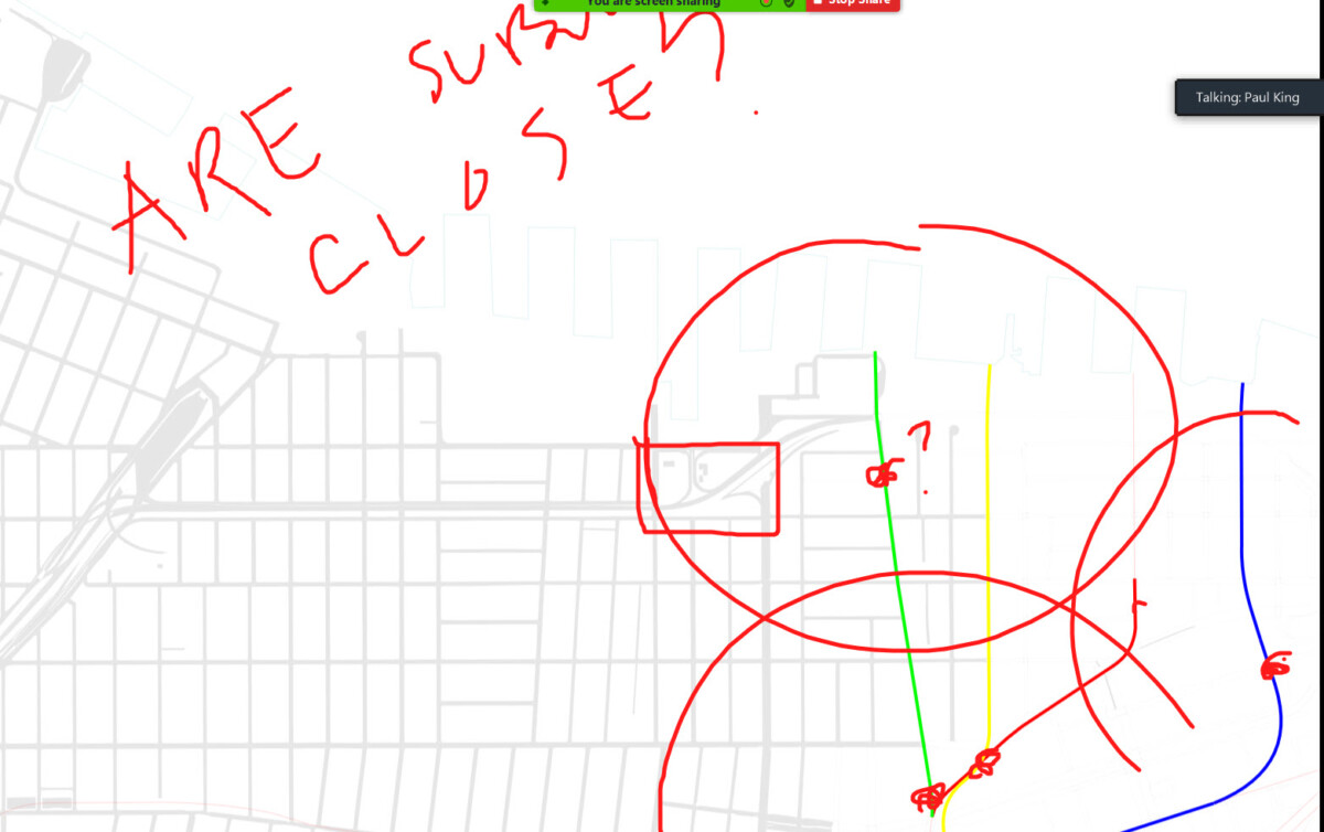
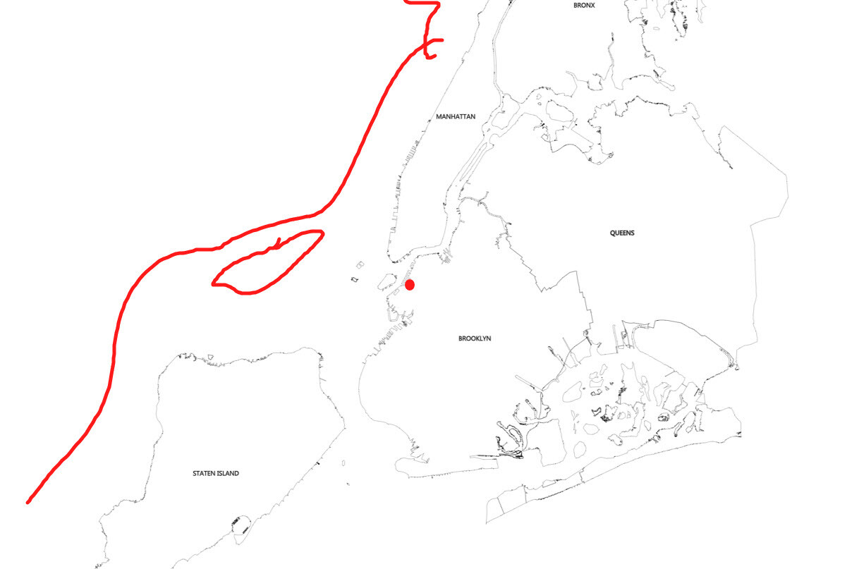
Corner of Columbia and Congress
(running from Hicks to Columbia along Congress, then turning the corner up Columbia until you reach the highway Exit/Entrance)
Corner of Columbia and Atlantic
(running from the highway exit/entrance on Columbia – up to the corner of Atlantic and then up Atlantic until the next highway exit)
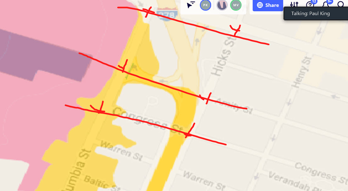
Hicks Street
(from the corner of Hicks and Congress running up Hicks until we hit the new project under construction)
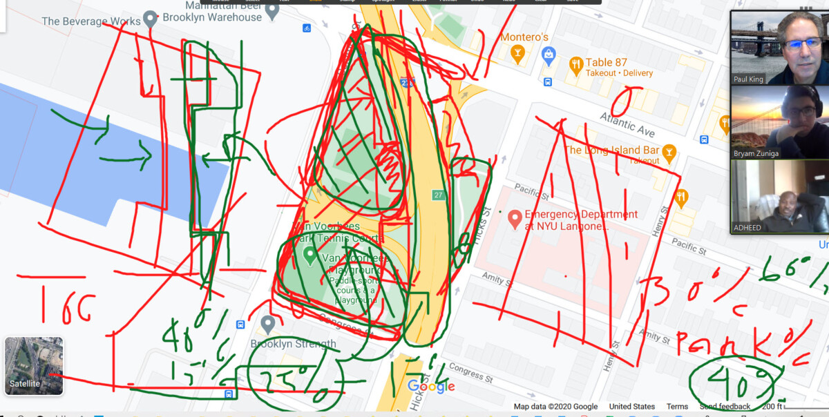
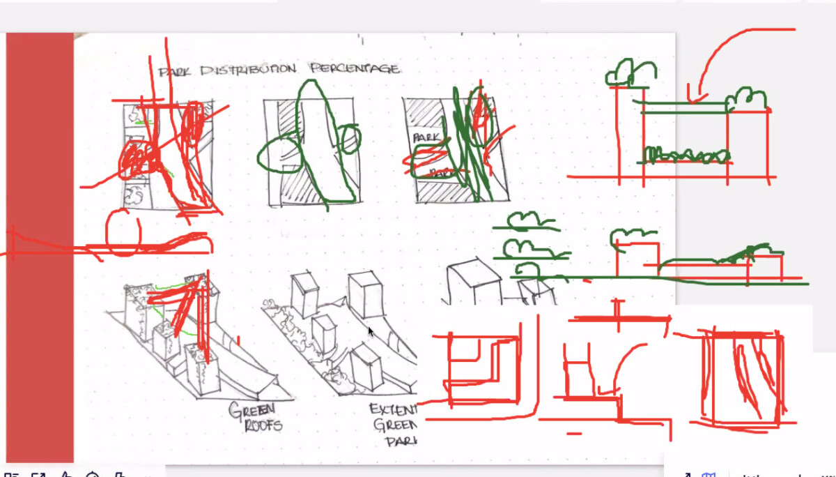
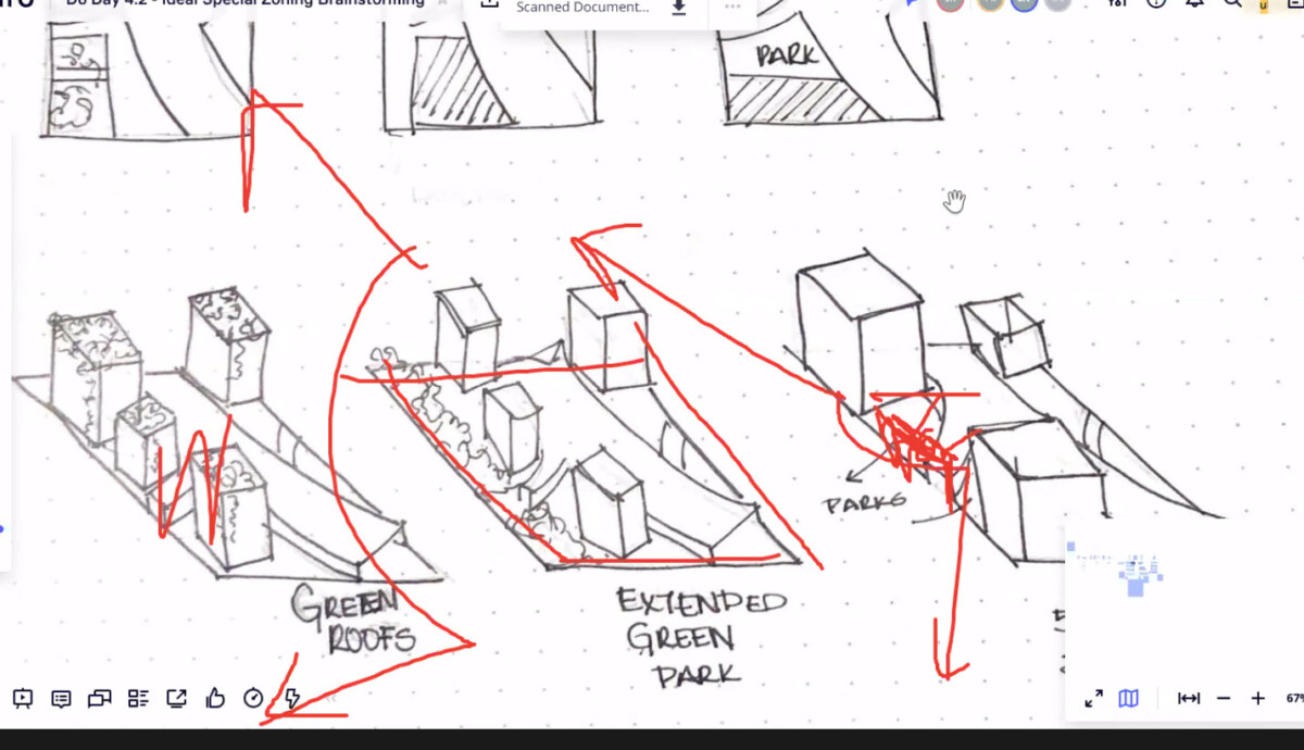
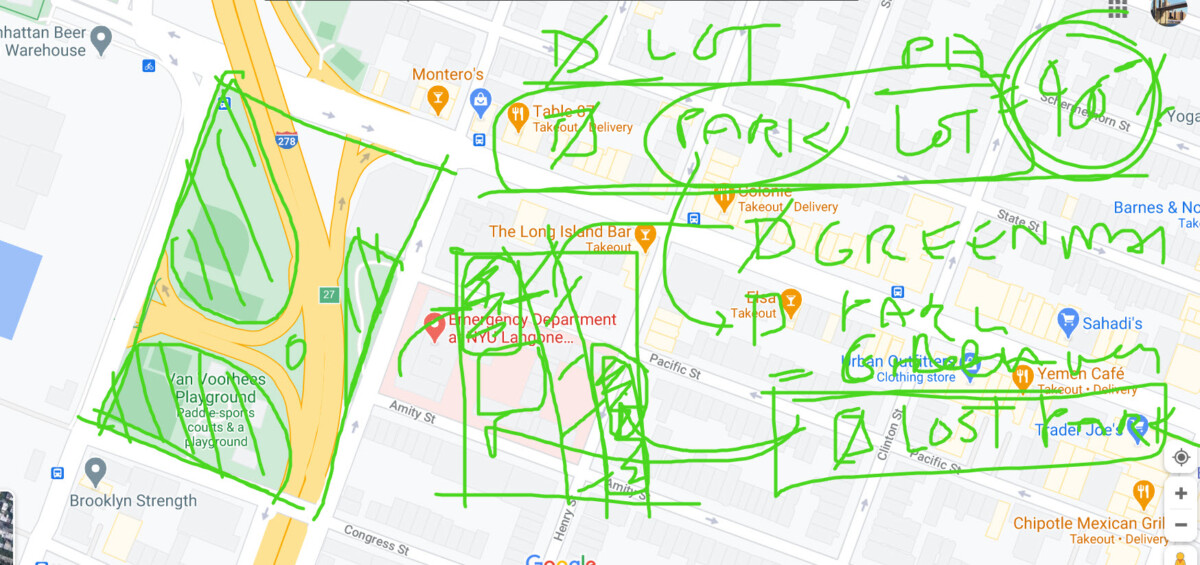
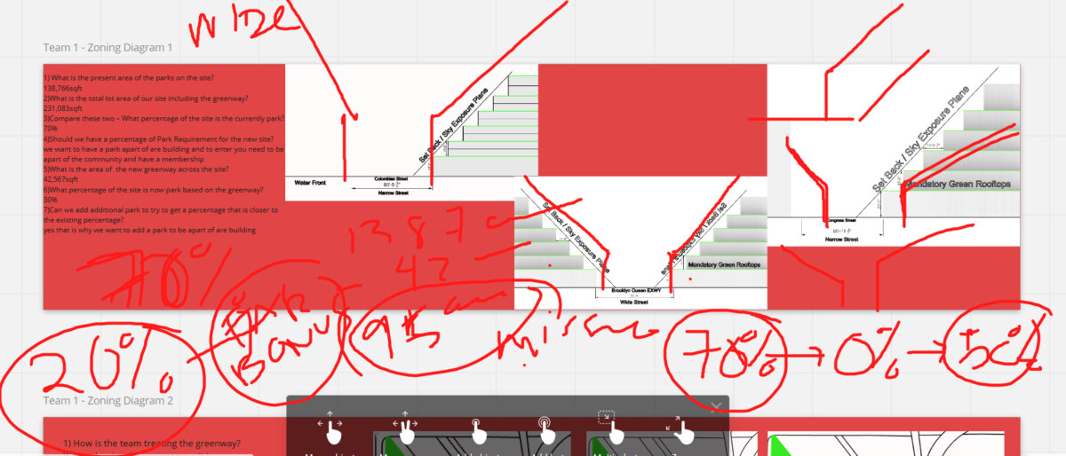
Park Calculations
Removing the existing park will concern the community. Perform the following calculations.
- What is the present area of the parks on the site?
- What is the total lot area of our site including the greenway?
- Compare these two – What percentage of the site is the currently park?
- Should we have a percentage of Park Requirement for the new site?
- What is the area of the new greenway across the site? Calculate it.
- What percentage of the site is now park based on the greenway?
- Can we add additional park to try to get a percentage that is closer to the existing percentage?
For example: (These numbers are made up – you must use real numbers)
- The percentage of park is currently 30% of the total site.
- The percentage of the new greenway is 20%
- Can we add back the missing 10% by requiring additional public park on the project site?
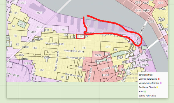
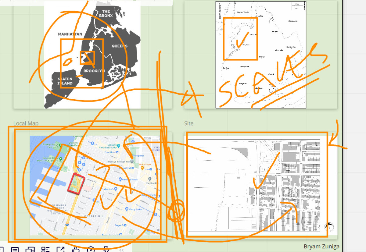
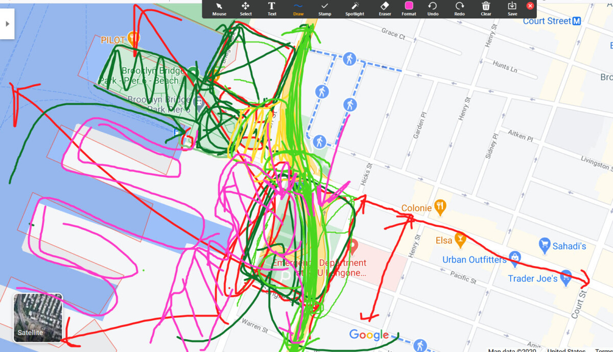
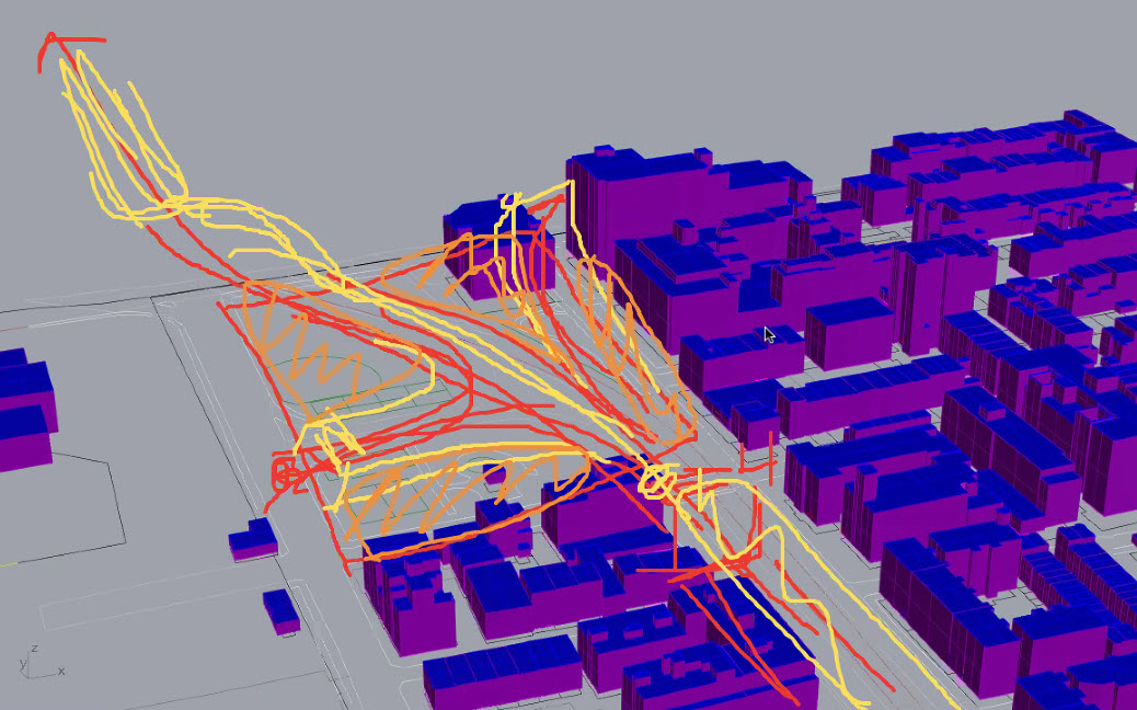
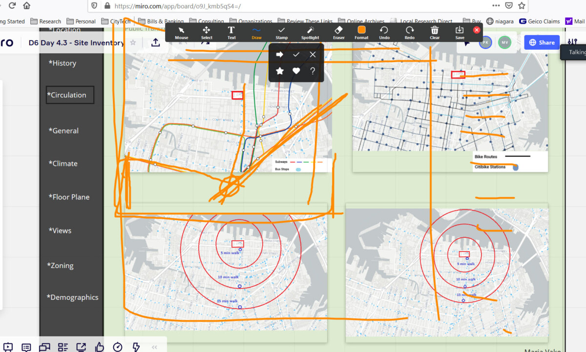
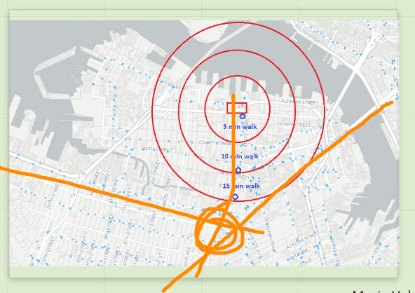
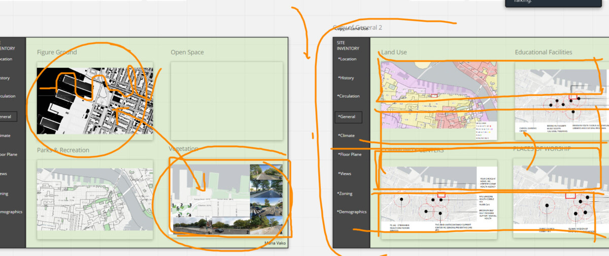
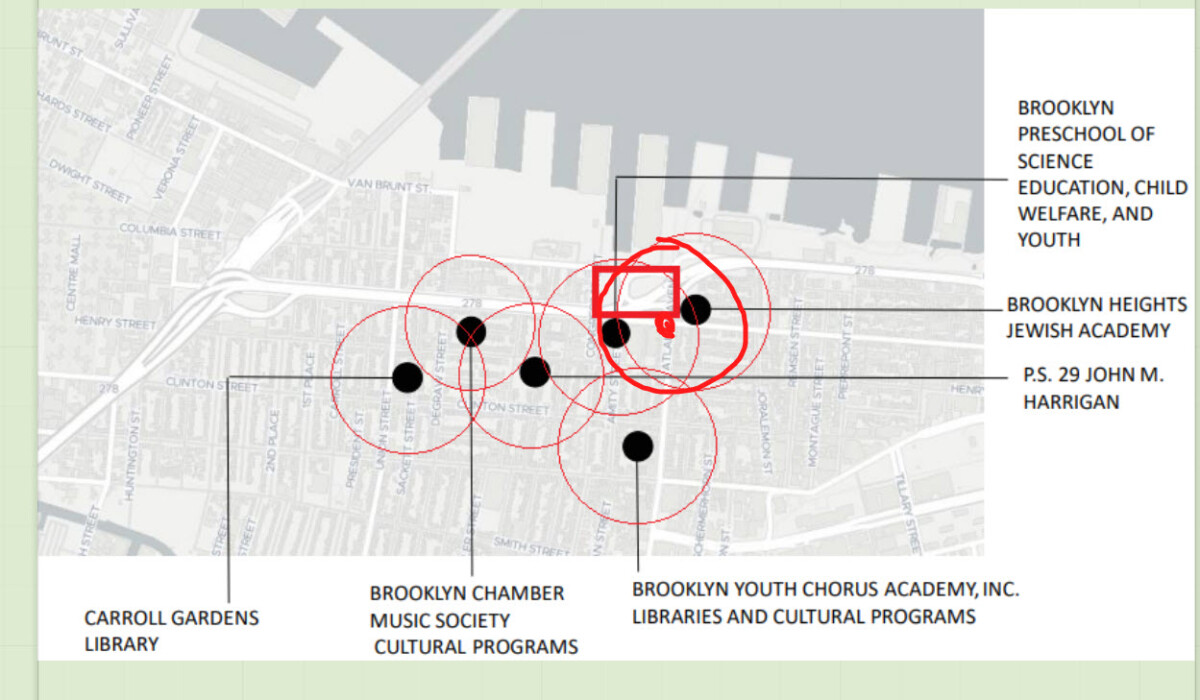
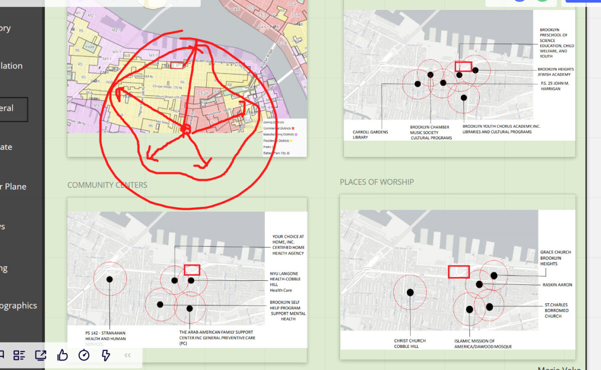
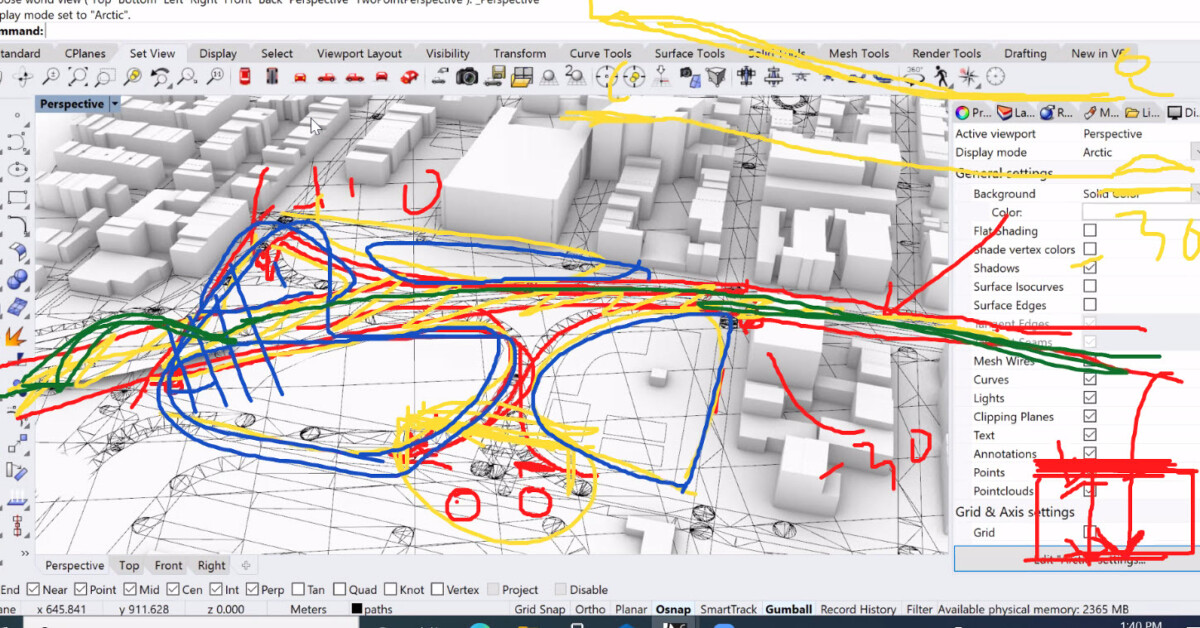
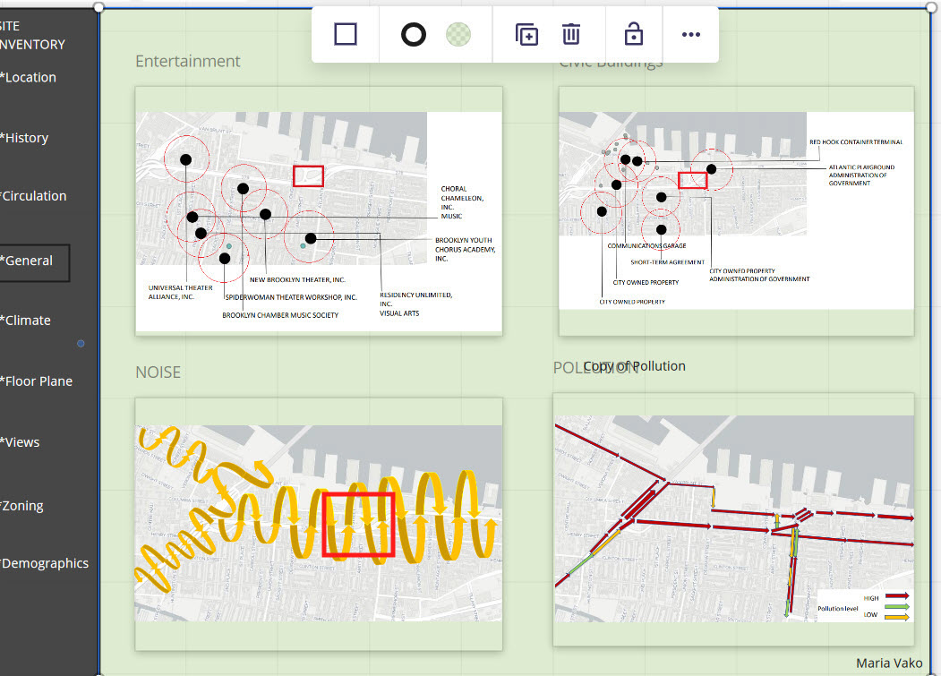
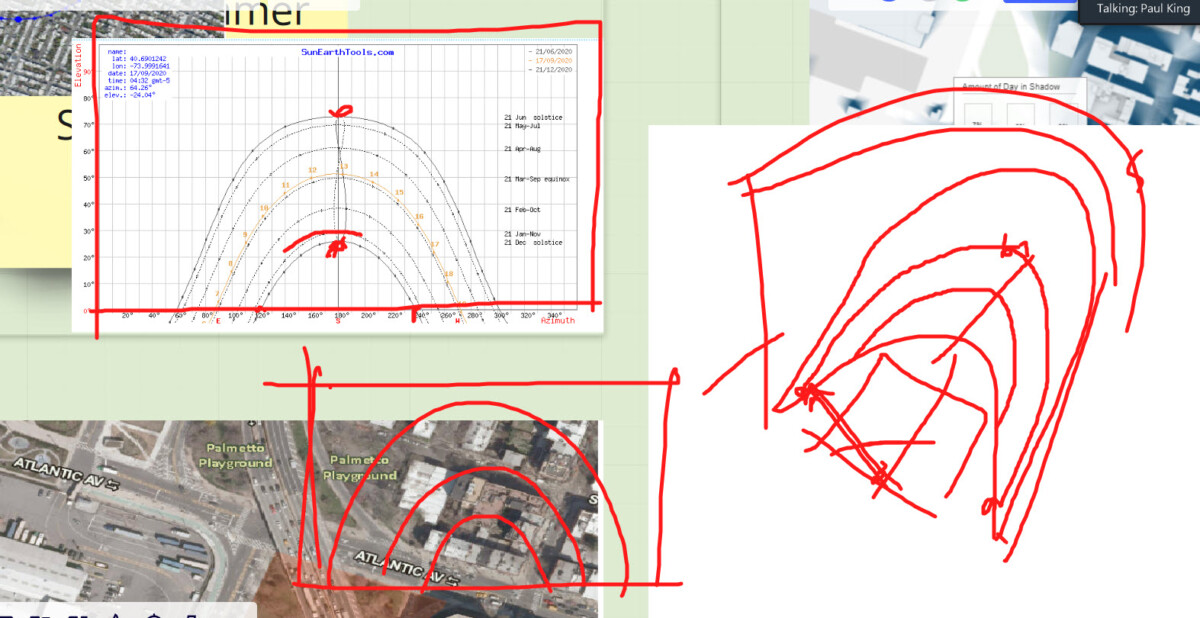
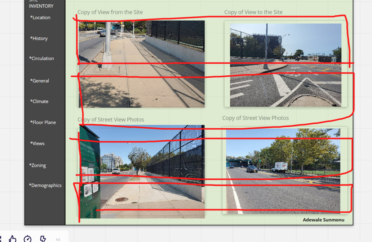
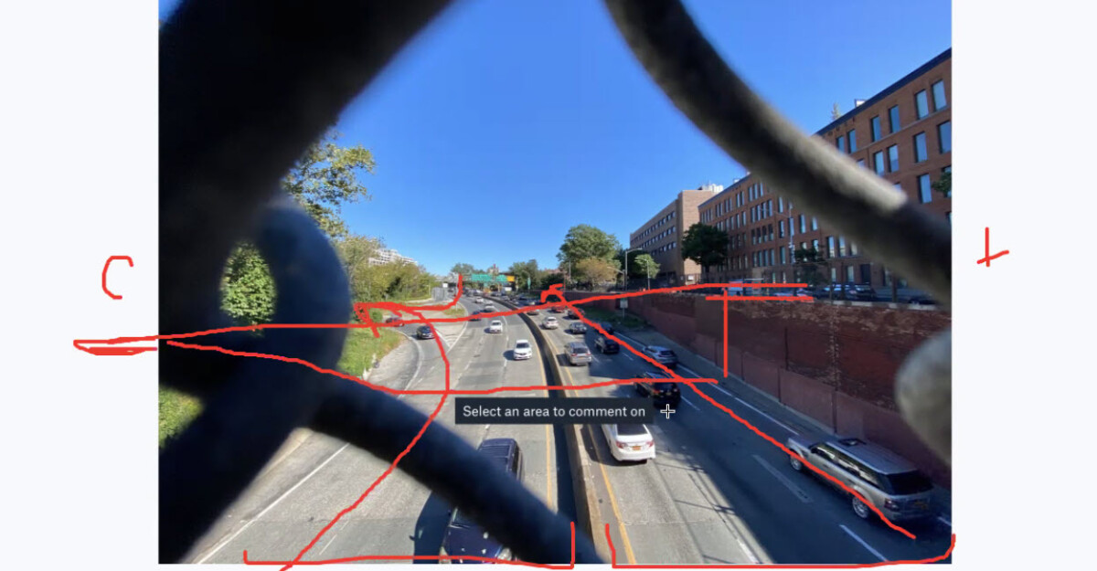
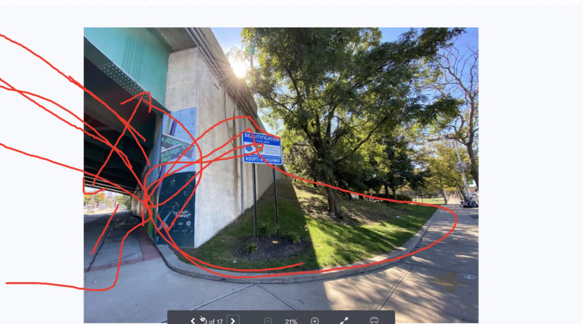
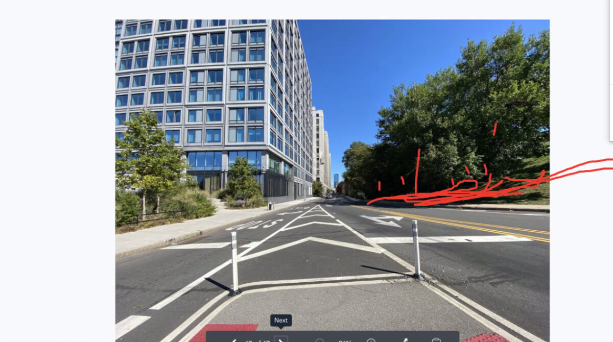
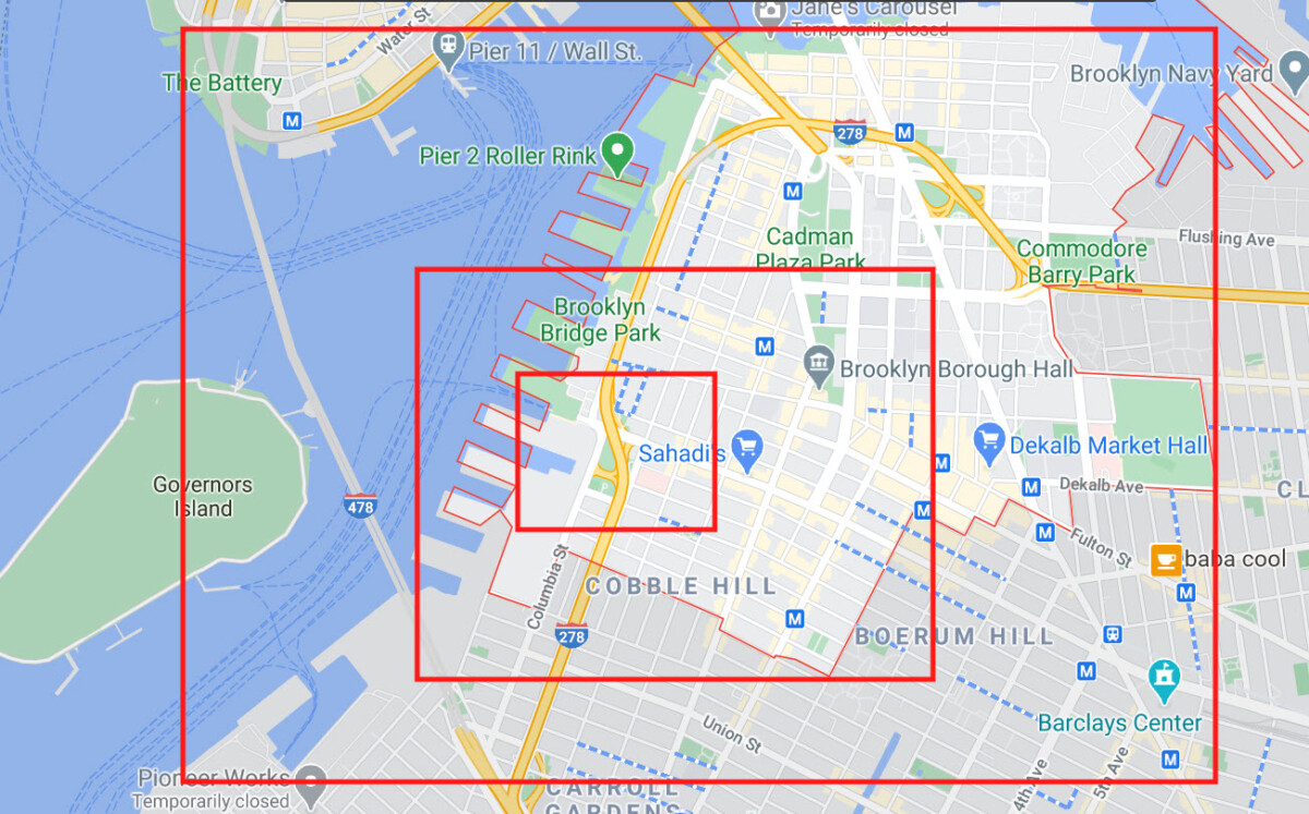
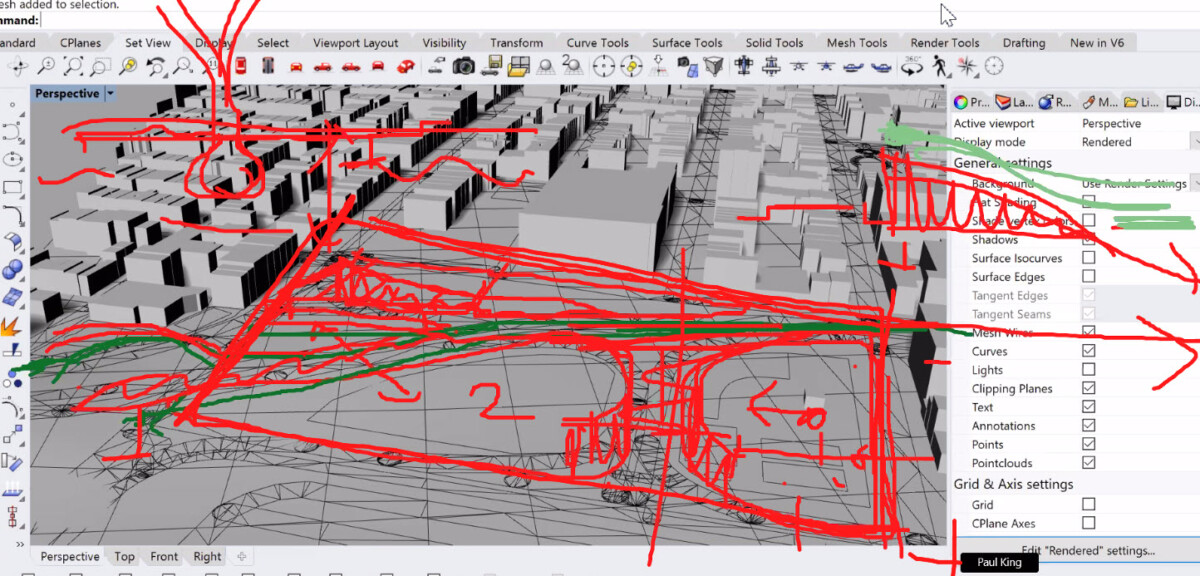
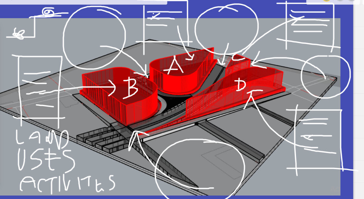
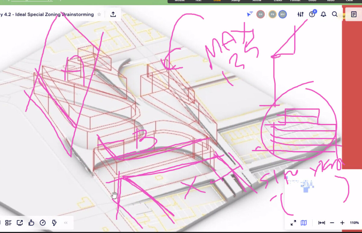
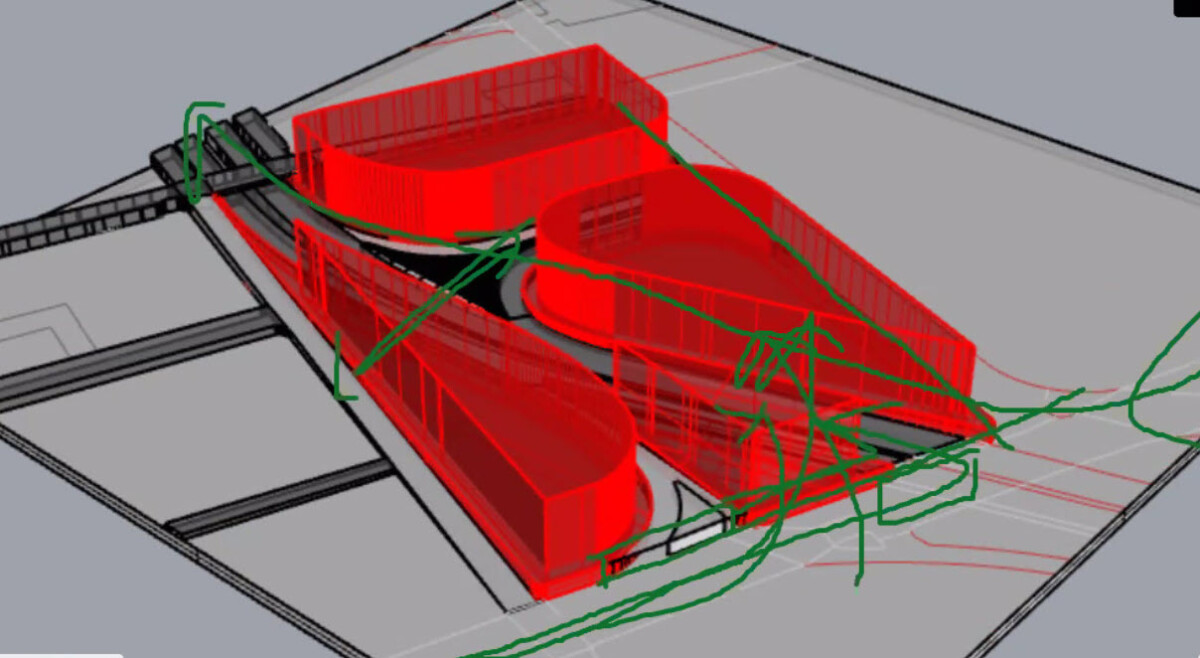
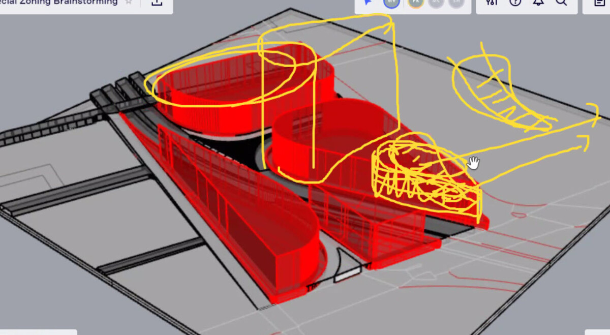
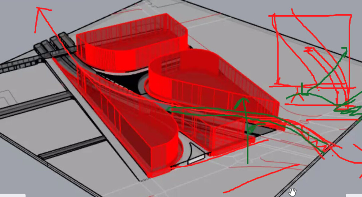
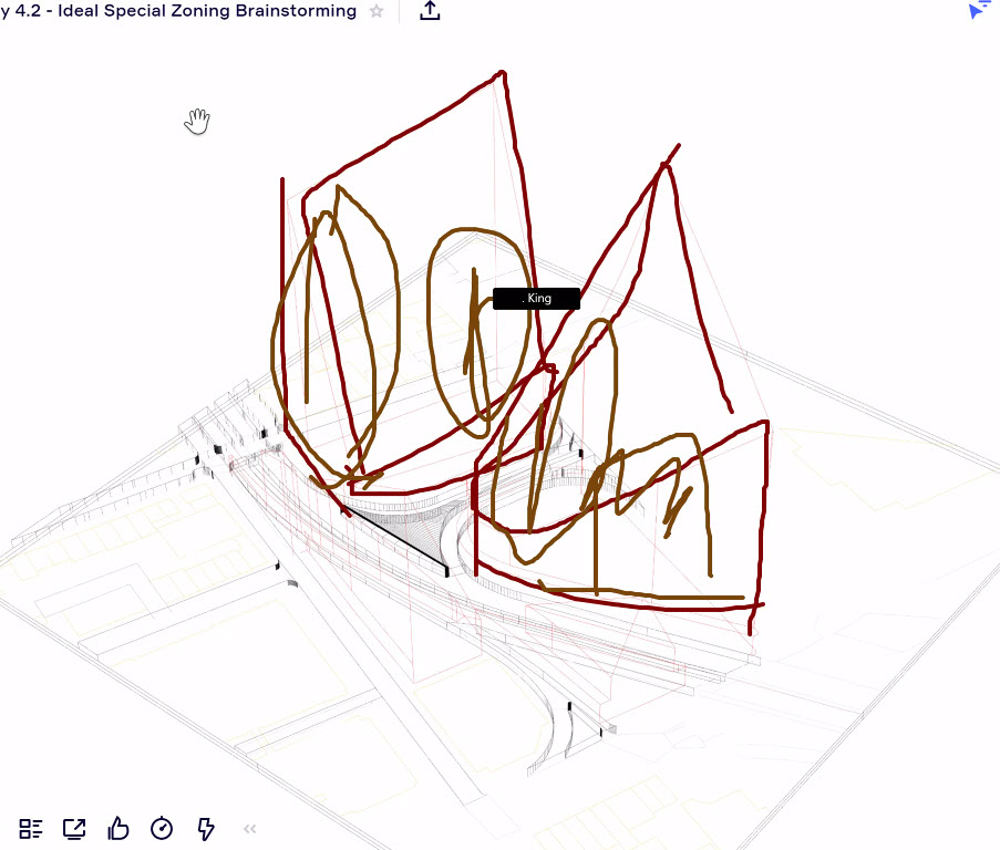
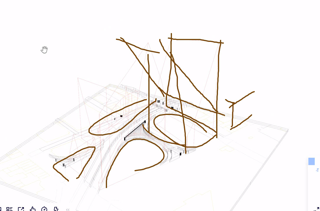
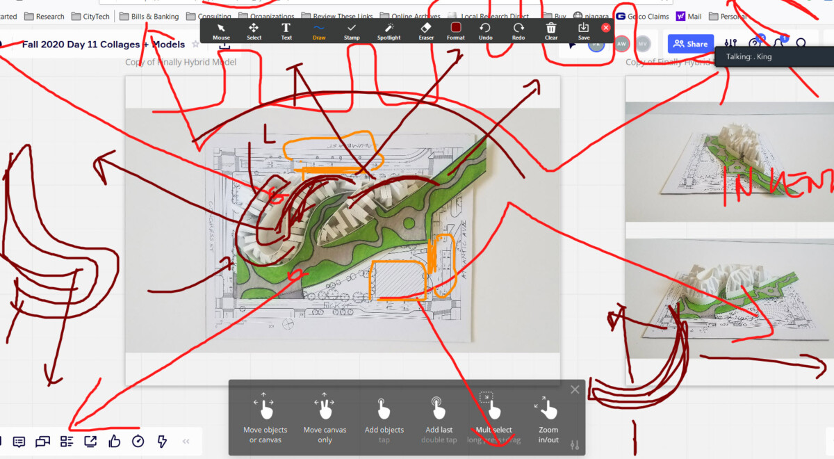
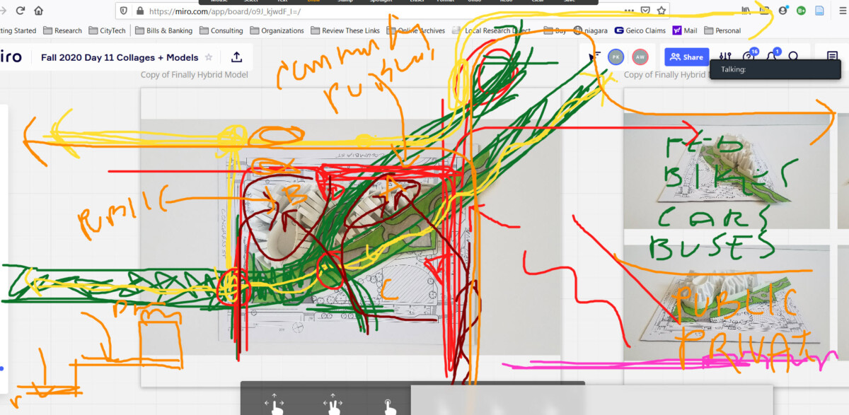
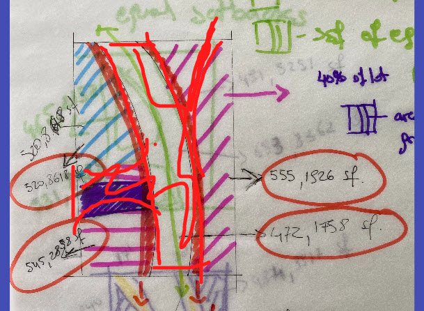
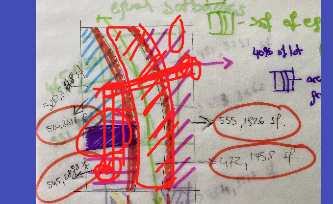
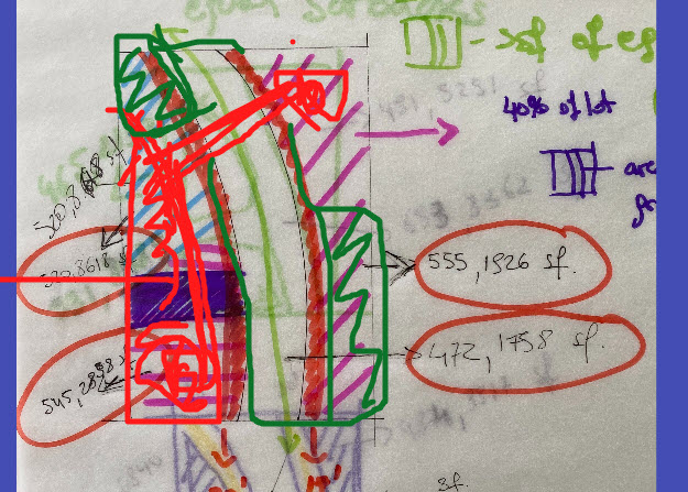
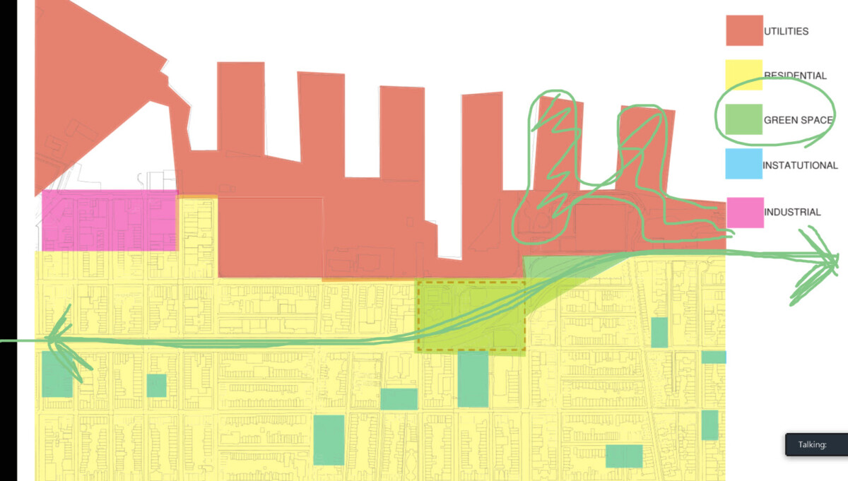
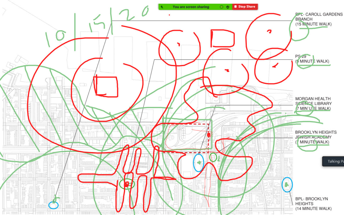
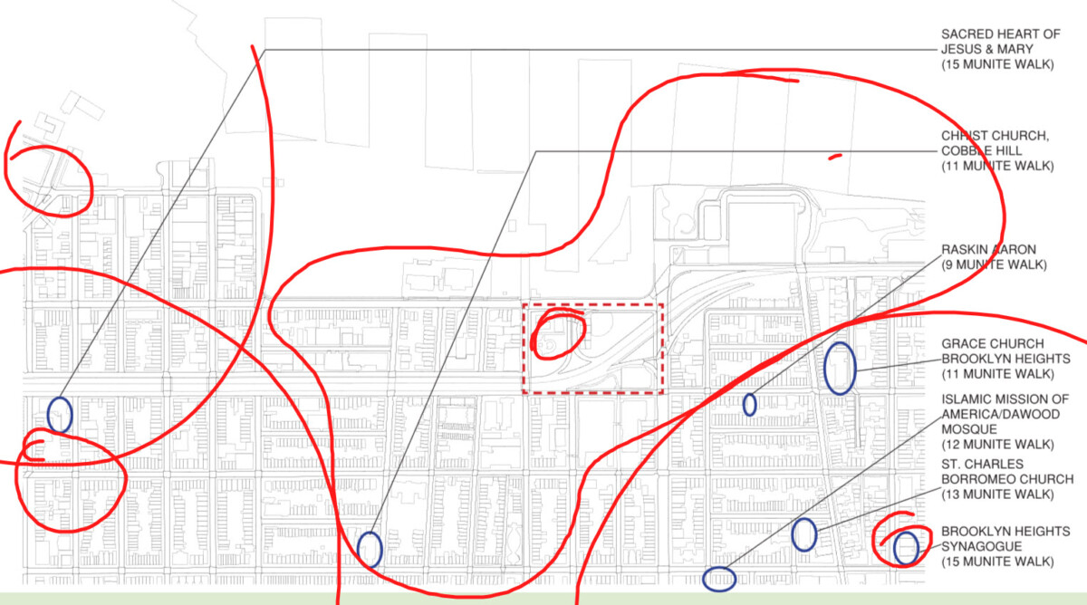
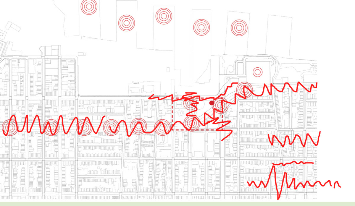
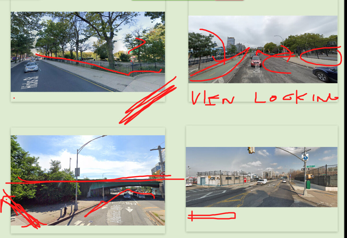
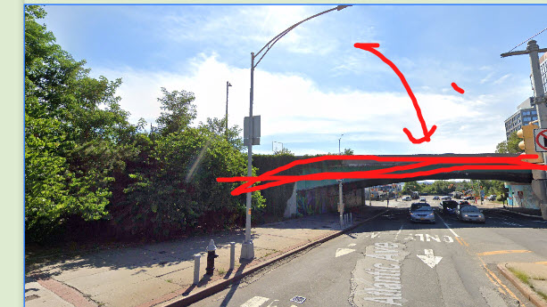
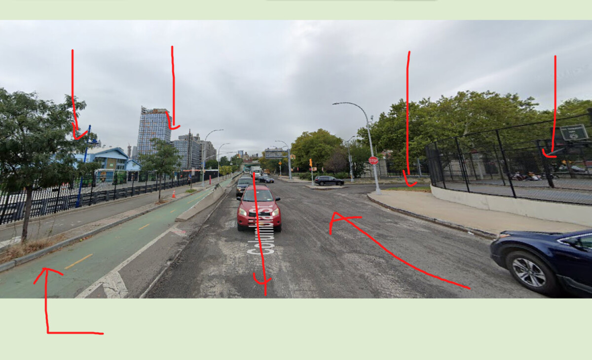
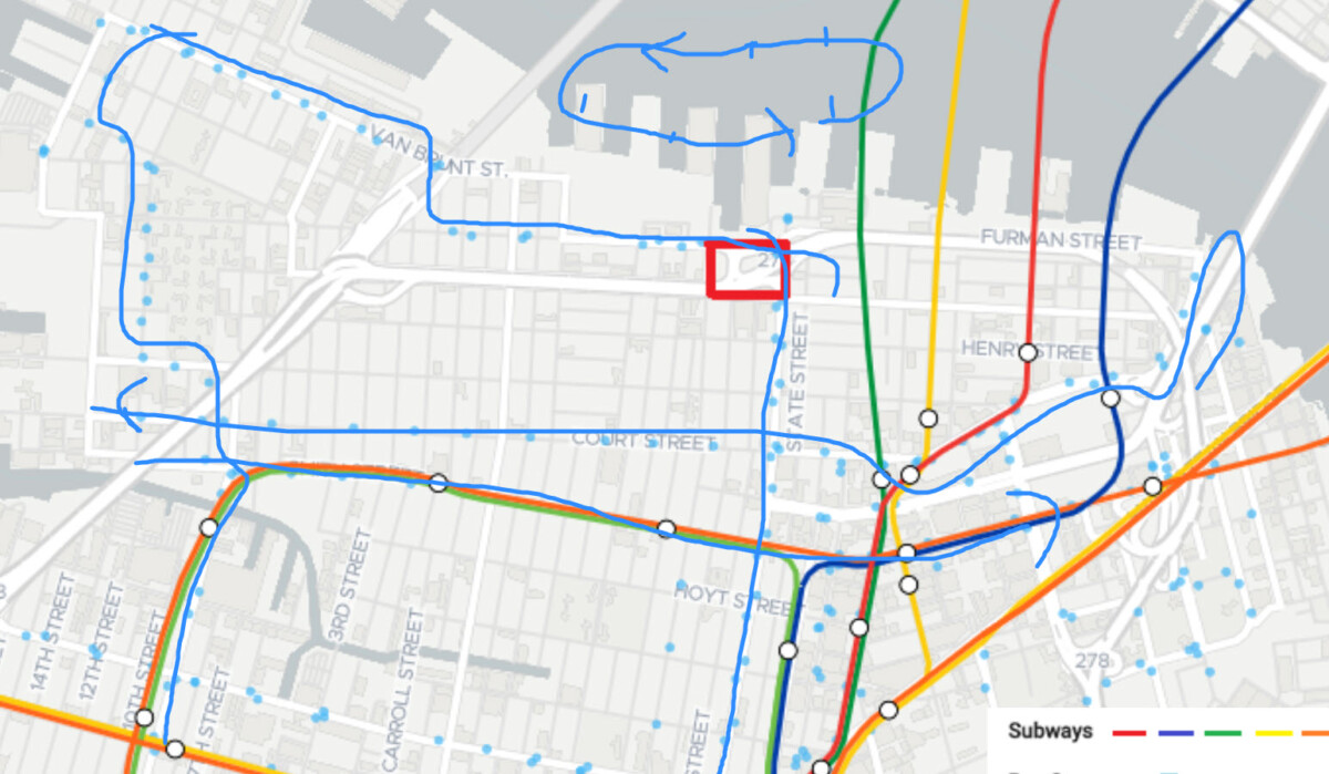
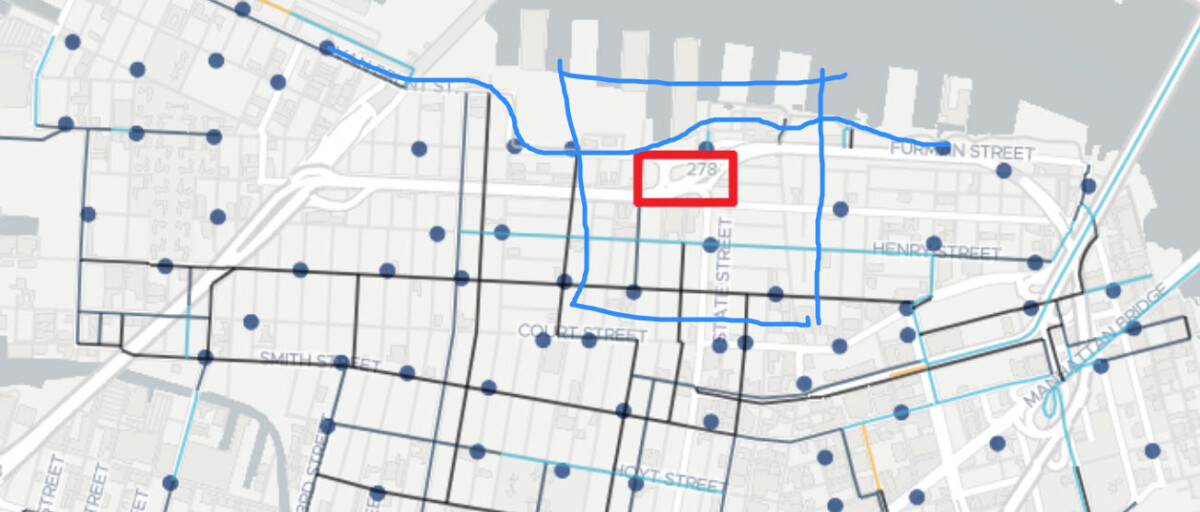
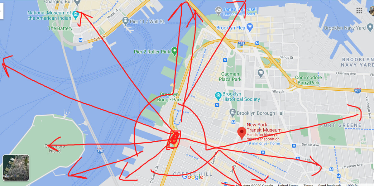
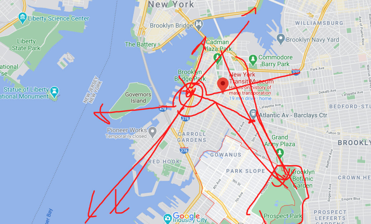
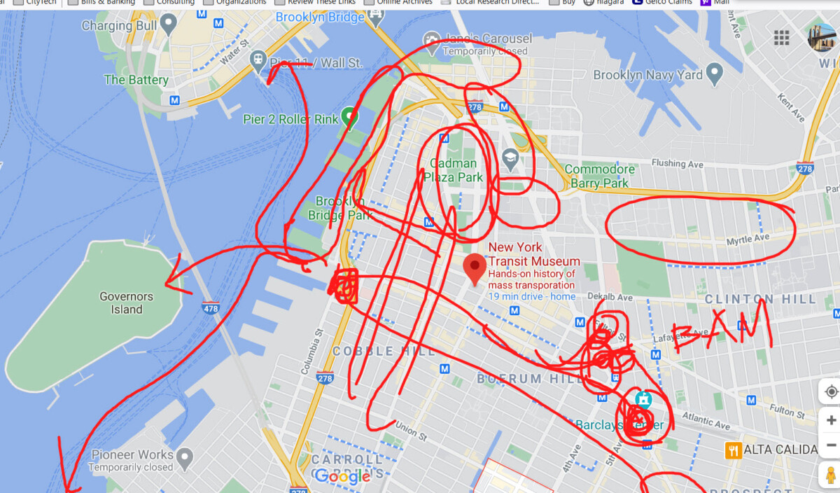
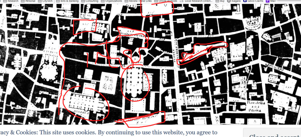
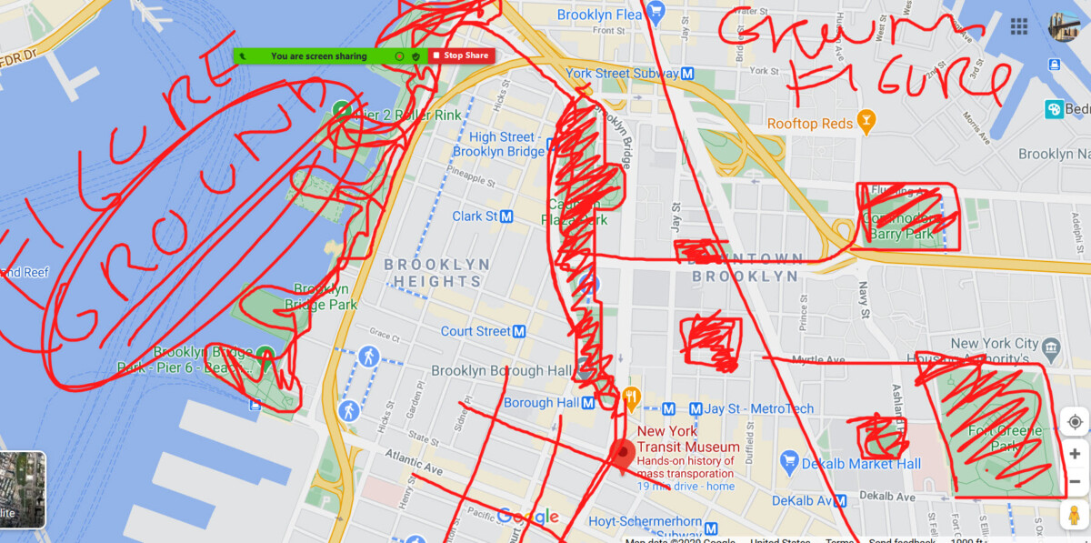
Screen Captures from Today: